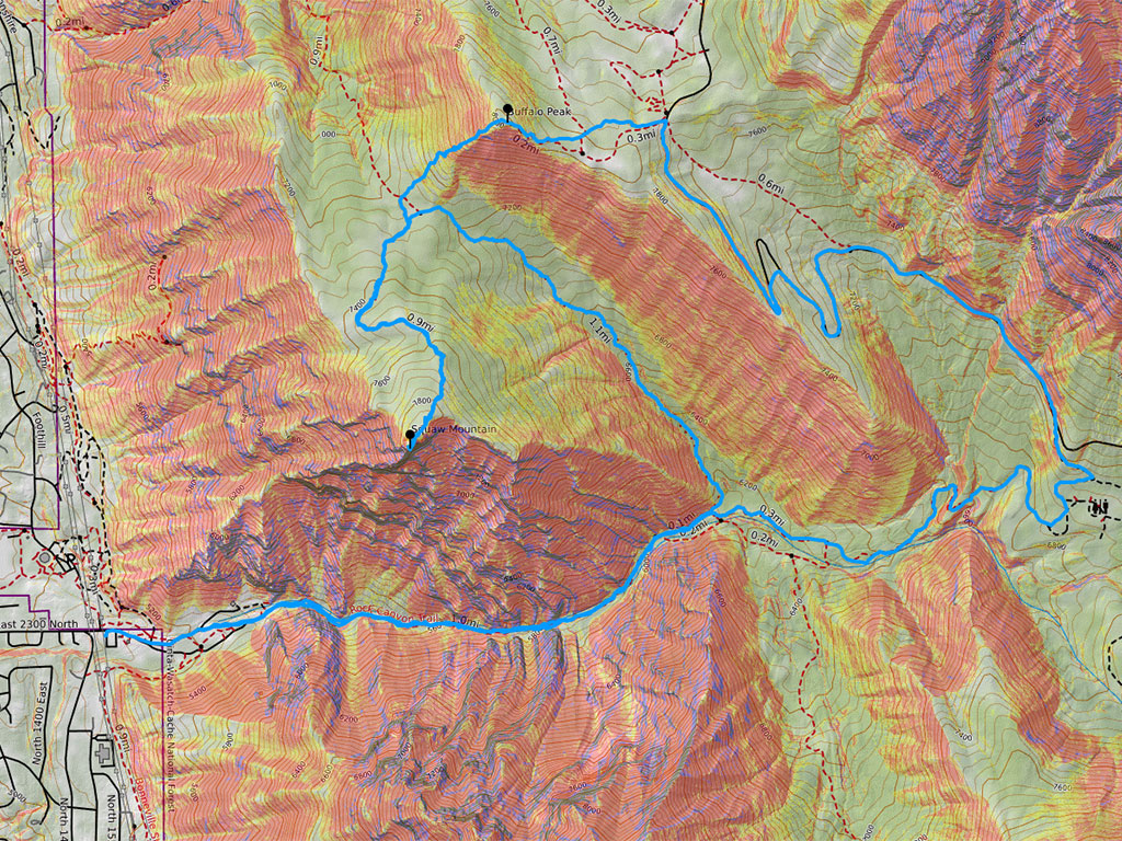
 Squaw Peak was #2 for me as I work through Utah’s first Six-Pack of Peaks Challenge in 2021. However, this peak wasn’t enough by itself, so we bushwhacked and broke trail up to Buffalo Peak to make this a Rock Canyon Combo!
Friends from the Wasatch Peak Baggers were already talking about doing Squaw in the days leading up to the weekend. Some were planning to do the unofficial RUFA Challenge (complete as many laps on Squaw Peak as possible in 6 or 12 hours) while others were kicking around the possibility of making this a loop hike from Squaw to Buffalo and then down the backside to a campground at the end of Rock Canyon for the return. I was up for either, but definitely leaned more toward the Buffalo combo as that sounded much more adventurous… especially since there is no official trail between the two that I’m aware of.
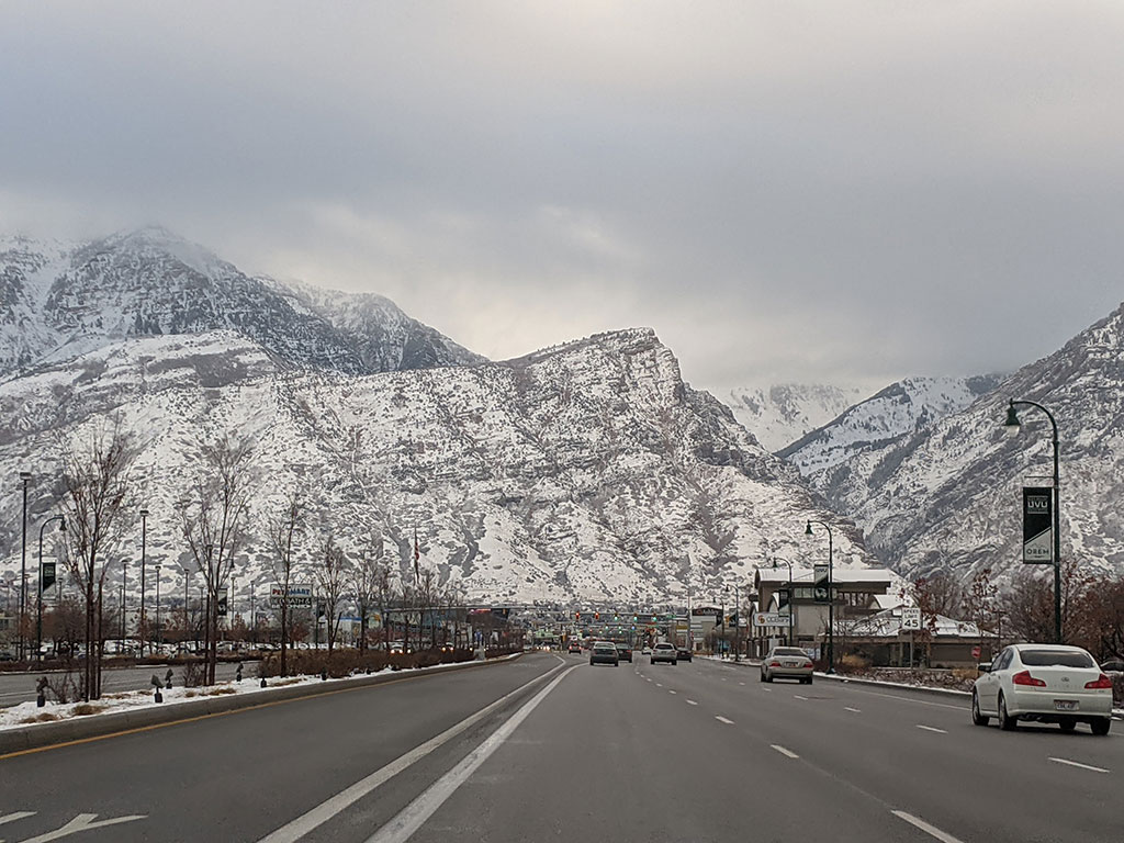
This trail is usually pretty packed down due to it’s popularity and proximity to BYU.
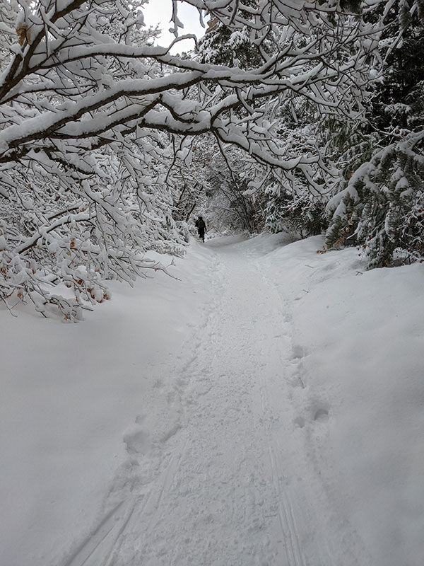
Squaw Peak is also pretty safe and easy to do in the winter since there is no avalanche danger along the way.
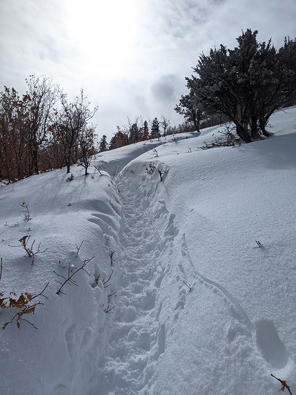
I love the “trench” that forms on the trail the higher you go and the deeper the snow gets.
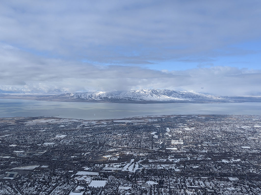
Great views of Utah County, Utah Lake and the Oquirrah’s from atop Squaw Peak.
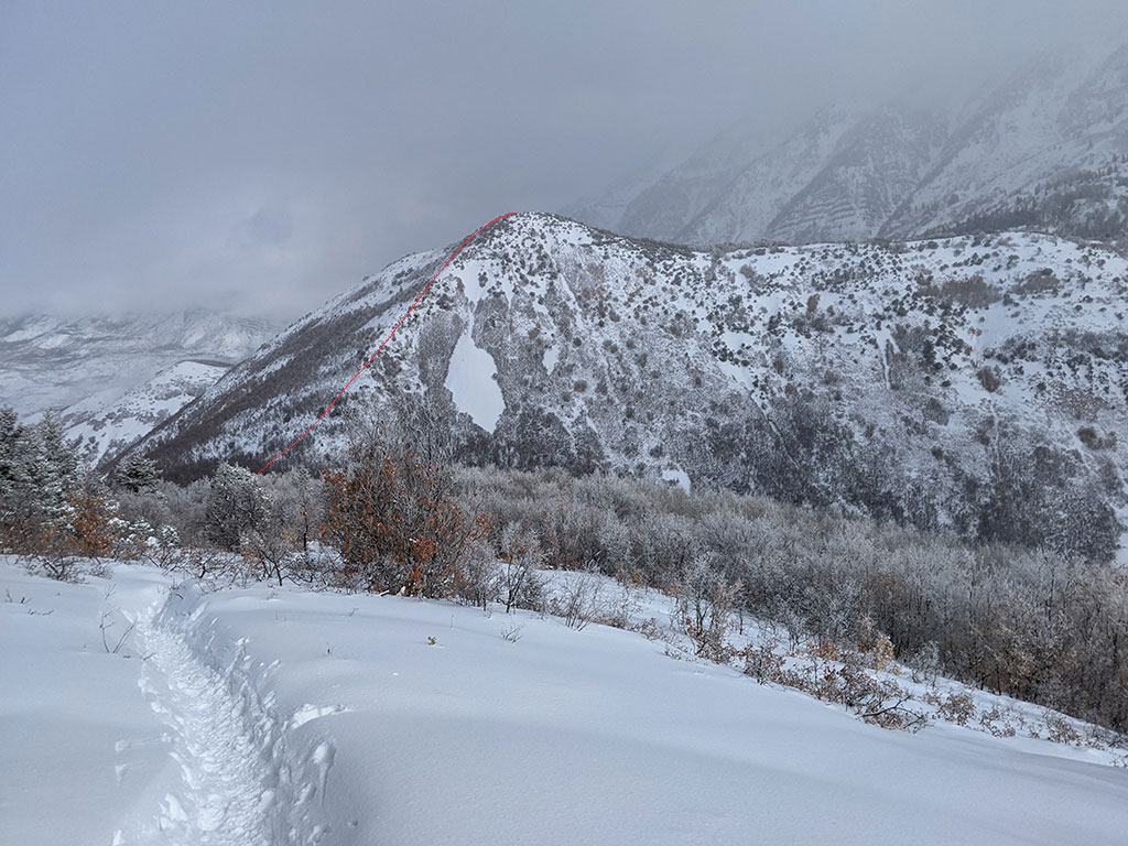
Buffalo Peak is our next destination across the way and partially back from whence we came.
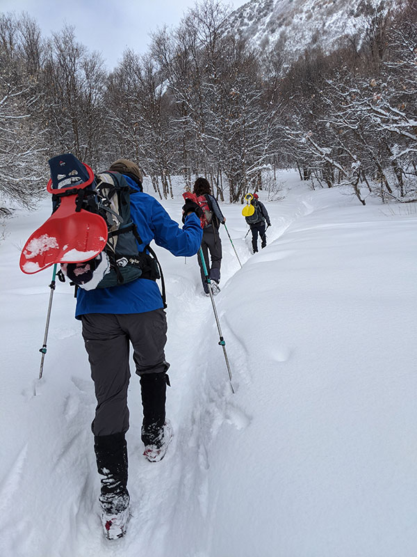
Today was not the day to leave my poles behind. I used this stick instead as we broke trail up that northwest slope.
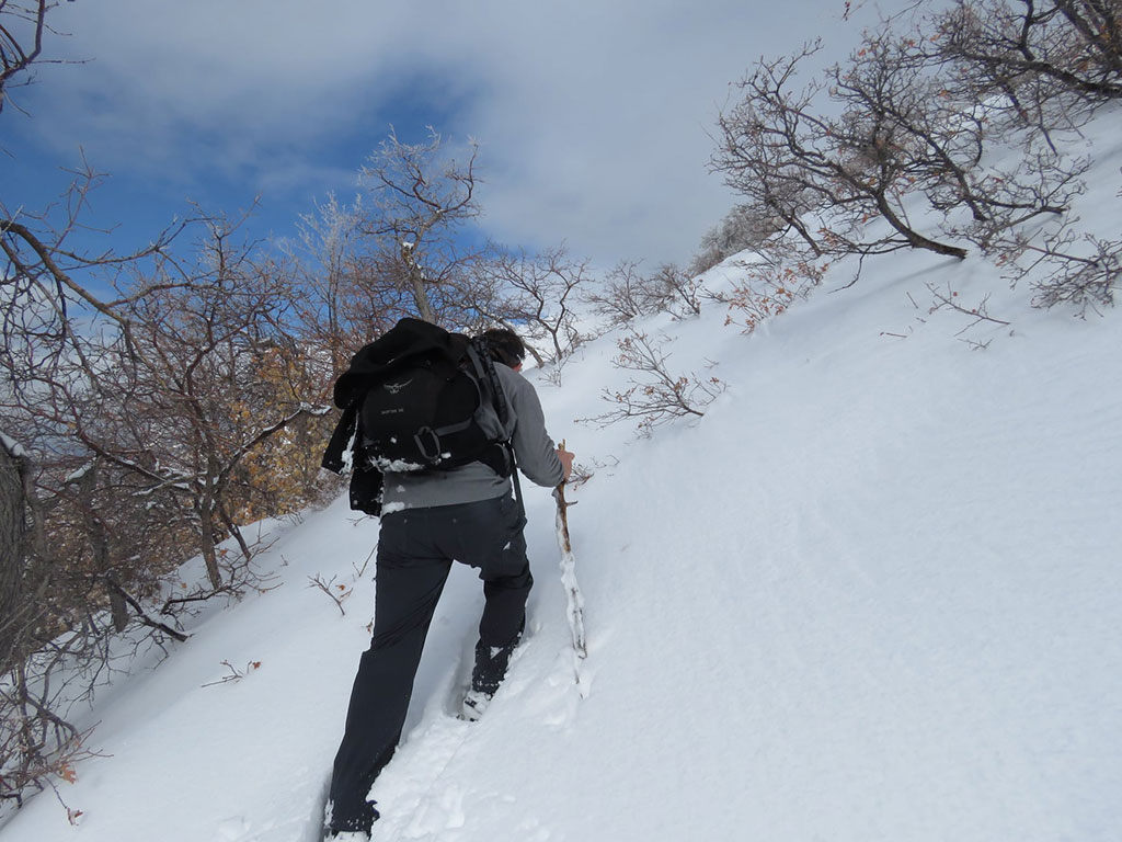
A bit of bushwhacking also came into play since there is no trail between Squaw (in the background) and Buffalo.
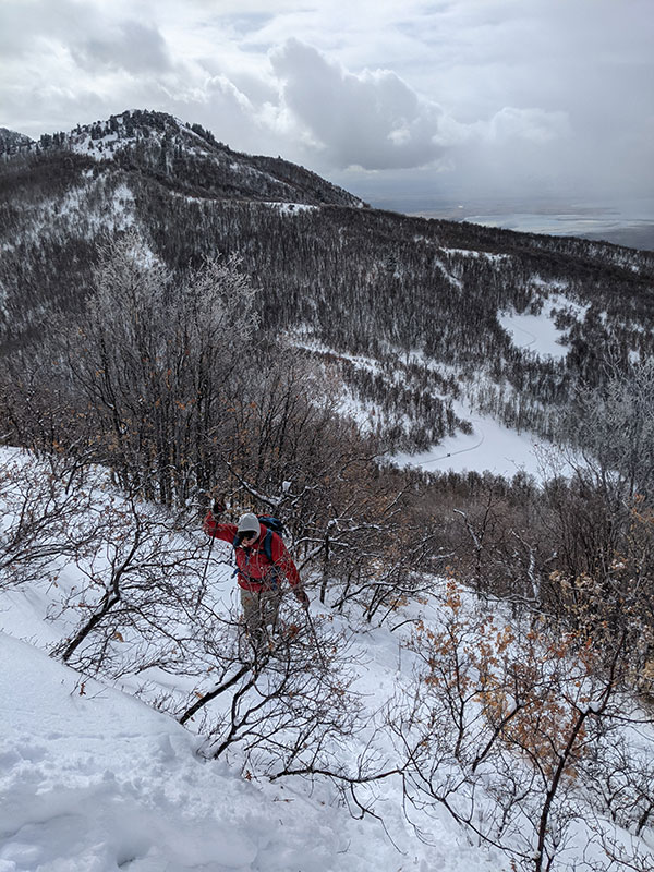
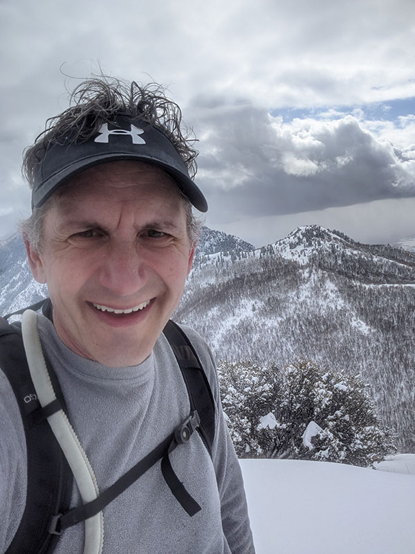
A summit selfie from the top of Buffalo with Squaw Peak in the background.
Looking down towards our exit through Rock Canyon, waaaaaay down there.
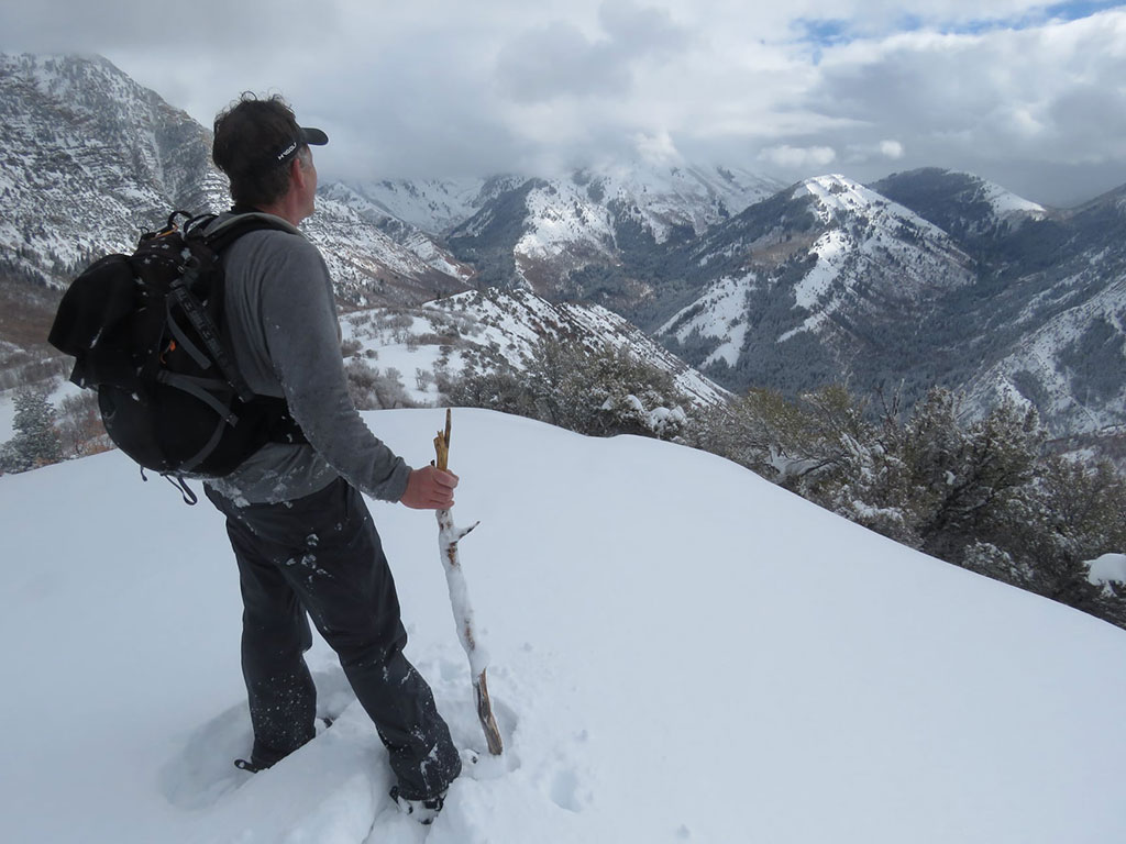
We dropped off the backside of Buffalo Peak in DEEP powder to catch the Squaw Peak Road to Rock Creek Campground.
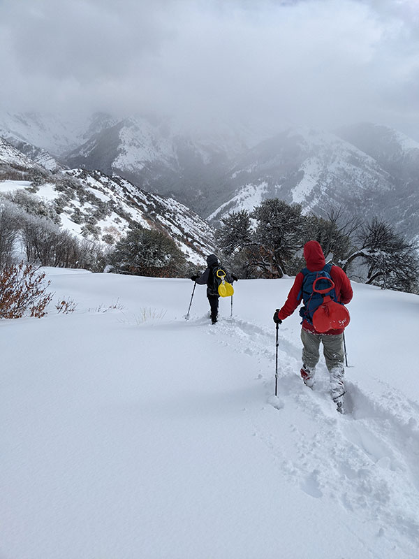
Thank goodness for the single track we followed along the road. At one point, Darrin had said “this is the most work I have ever done going downhill”.
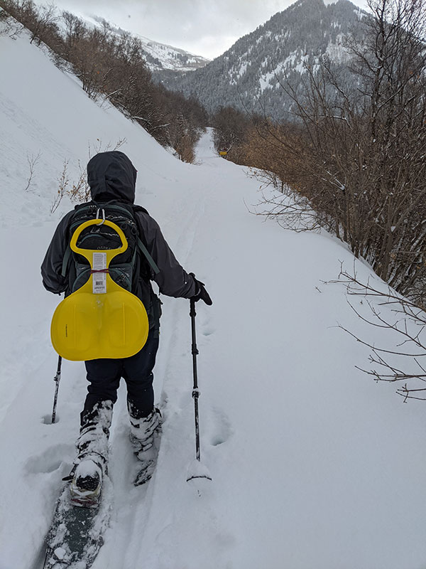
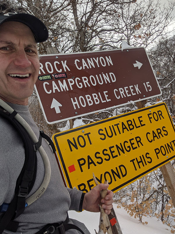
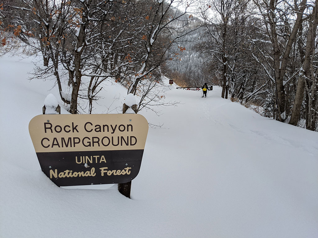
Once we got here, we knew we’d soon hook up with a packed trail again for the last 3 miles back through the canyon to where we started.
Still trudging through untracked snow… about 18 new inches of it from the night before. As a point of reference, this was the Ski Report for the day from Snowbird.
Final stats were 10.5ish miles with 3,400′ of elevation on a day with deep powder.
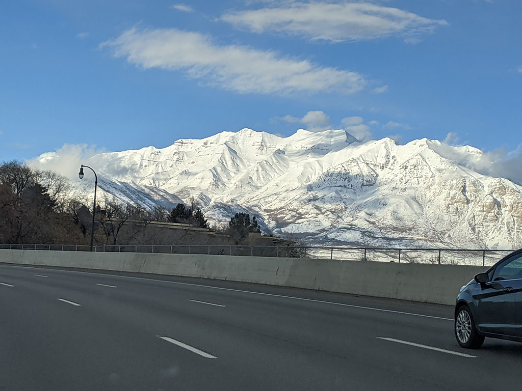
Timp was lookin’ mighty fine on the way home! I’ve been up that mountain every year for the past 8 years, but never in the winter… I hope to change that this year!
