I look forward to the season between winter snowshoeing and summer hiking…when avalanche risk is minimal, skies are blue, temps are mild and adventure is high! This spring brought some adventurous fun up Mt. Olympus from Neff’s Canyon and now Cold Fusion to North Timpanogos.
Seeing Timp from my house every day, I’ve wanted to scale that route up to the North peak ever since my first mountaineering experience on Deseret Peak last year.
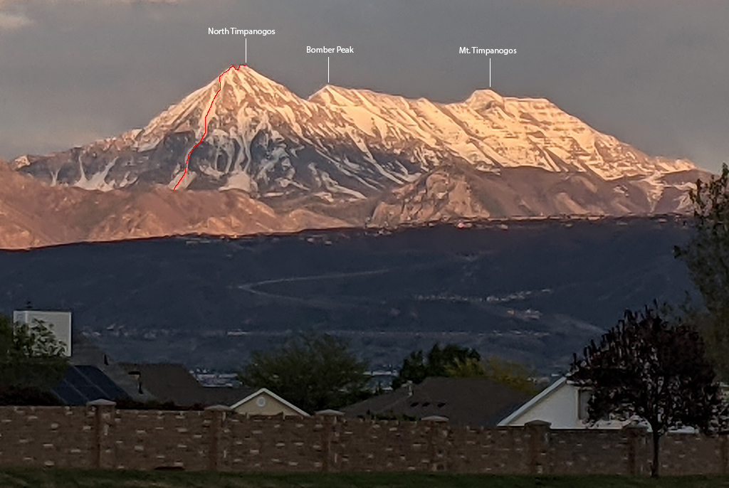
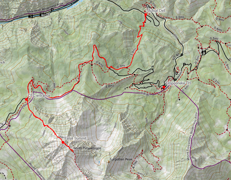
We started at Mutual Dell with the first 1.6 miles and 1,400′ up the Bear Canyon Trail. This approach then follows the Timpooneke Road where we found patches of snow for the next 3ish miles.
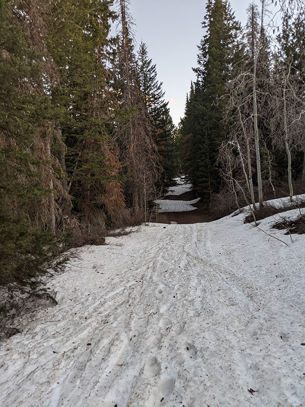
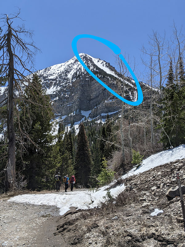
The entrance of Cold Fusion is pretty easy to see at 7am. Trail stats at this point were 4.4 miles in and 2,100′ up. Here’s where the fun begins!
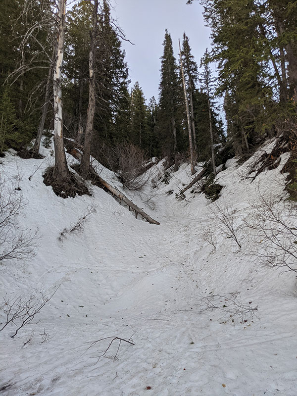
The lower part of this ravine climbs up through what looks like a wide half pipe, perfectly shaped to funnel a large flow of snow. I bet this is a wicked avalanche path when the conditions are ripe.
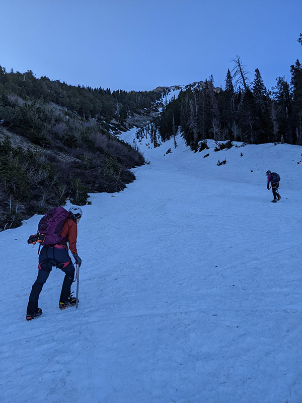
Slope angle is pretty tame for about the first third of the way.
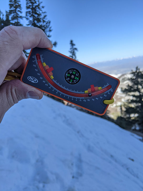
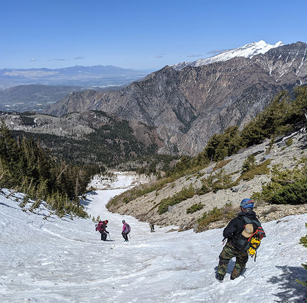
Then the climbing intensifies with crampons and an ice axe (or two) required.
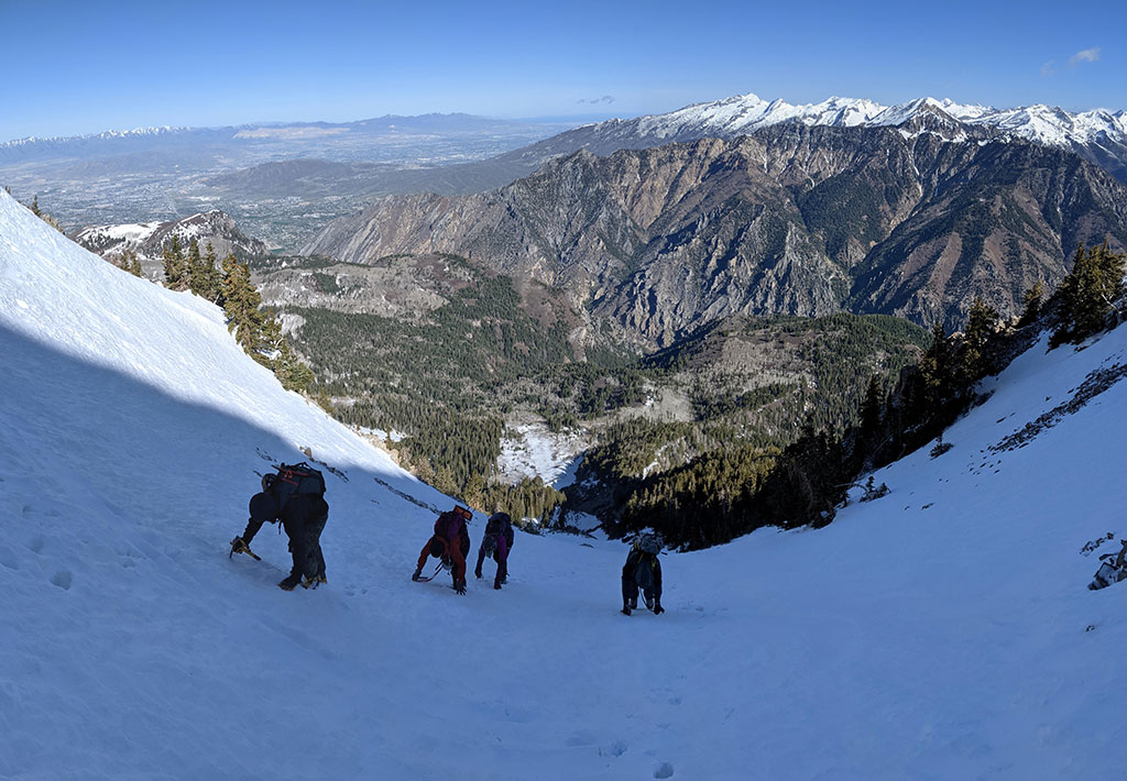
Even though this shot is out of focus, you can still see that we are square in the red zone of this slope angle now (38-40°).
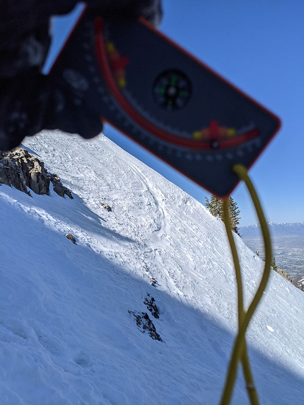
The climbing continues as we near the top of this couloir!
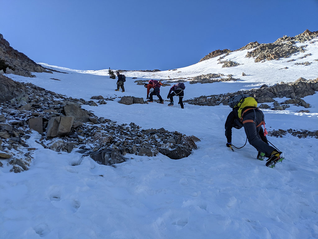
We finally break out of the shadows and into the sun, although a cold front rolled in the night before and temps were 20° cooler today.
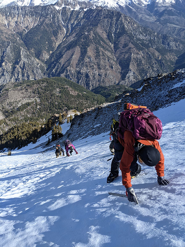
I didn’t get a slope angle measurement here for obvious reasons, but I was at the right place at the right time for this shot.
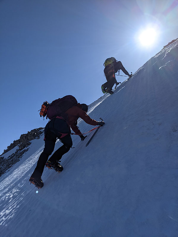
We are now at the top of the couloir with not far left to go.
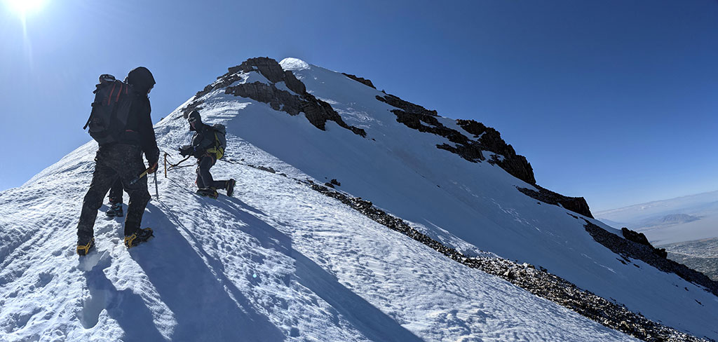
It’s just a short walk along this snowy ridge to the false summit.
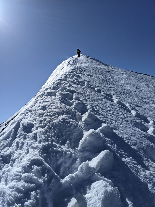
When we first saw this cairn, we thought we made it to the North peak of Timpanogos with Bomber Peak in the distance. However a quick check of the GPS showed us standing on the false summit with true North across the way!
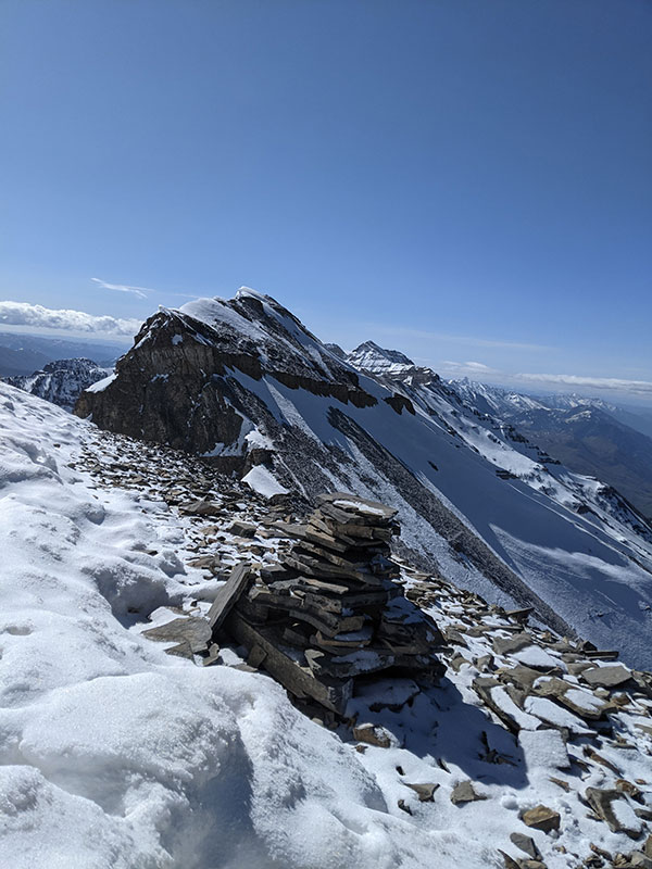
Down and over we go!
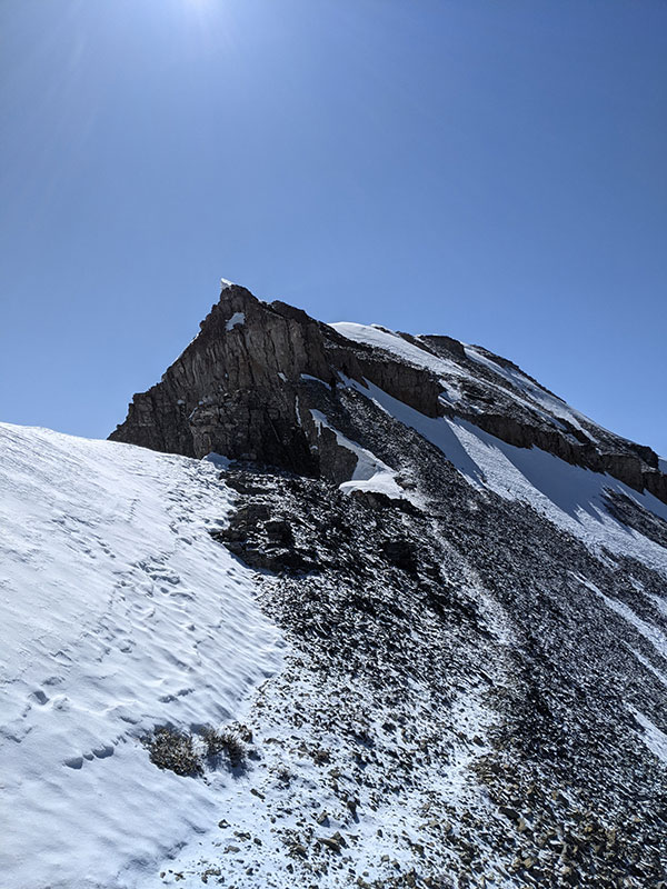
Navigating this cliff band looks more intimidating that it really was.
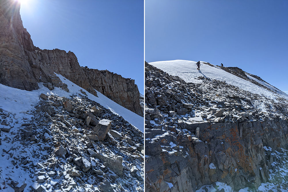
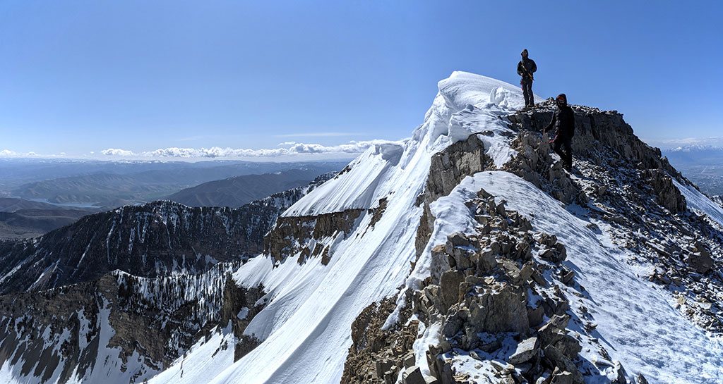
Looking back at the false summit as we continued up to the true summit of North Timp.
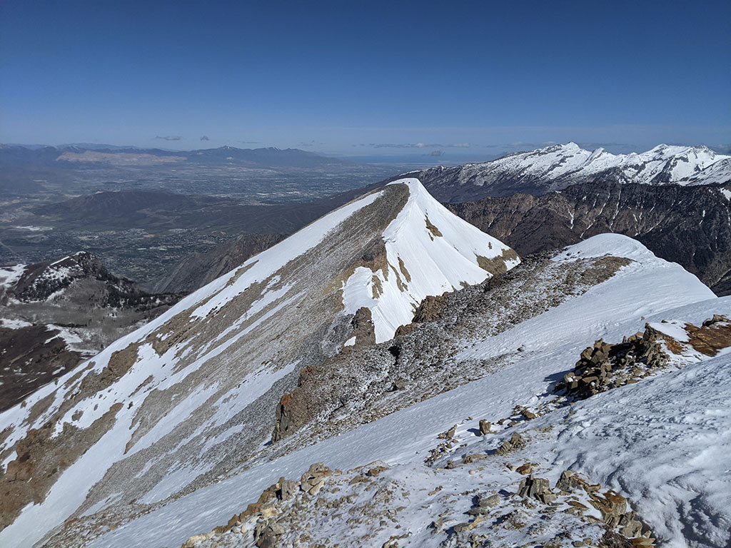
Huge cornices hanging off this North peak. I’d love to see when that breaks off and tumbles down.
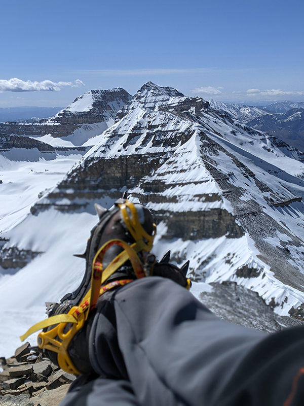
Spectacular views of the main and south summits of Mt. Timpanogos.
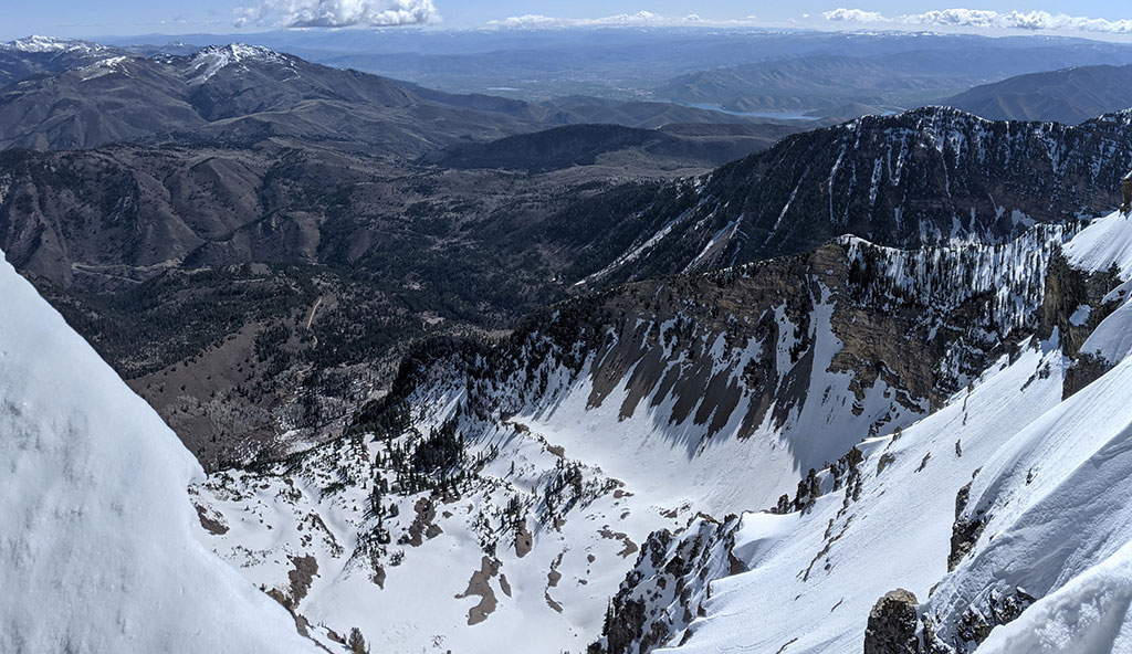
Fantastic views to the northeast. Can you see the parking area for Pine Hollow way down there?
As we headed down, skiers were still making their way up.
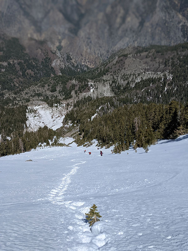
The snow remained pretty solid to do any glissading on, even by mid-afternoon.
This is one EPIC route that will need to be repeated again!
Final stats: 5,256′ in 11.8 miles.
Now I wanna do a Timp Traverse from North to South!

Very nice account of your ascent. In June 1981, I climbed and skied solo this majestic couloir. This was a full decade before it was named Cold Fusion by the team inaccurately claiming first ski descent. I don’t know if I was first to ski the couloir in this range full of skiing and climbing tradition – but what a beautiful and worthy line.