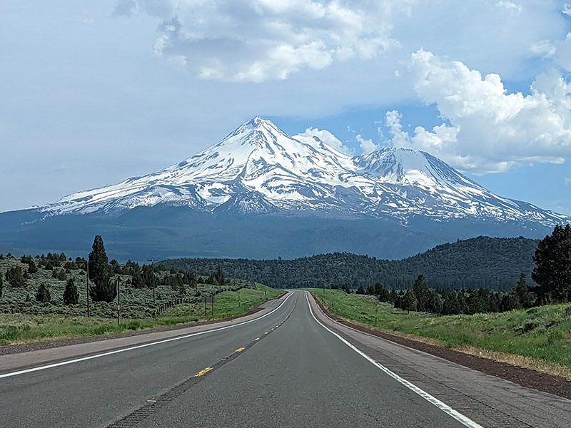
Time to head down into Central Oregon for some sightseeing on South Sister. This was the second stop in our tour of the Pacific Northwest. I had never been to this area before but was interested in seeing what there was to see through a first-hand experience. Spending the weekend here would also serve as a good “in-between” for what my specific plans were: Mt. Hood on one side, Mt. Shasta on the other.
I scoped out the starting point for this hike the day before, already aware it would involve a lot of snow right from the start. In fact, you couldn’t even get to the official trailhead. Everyone was parking alongside the road across from Devil’s Lake.
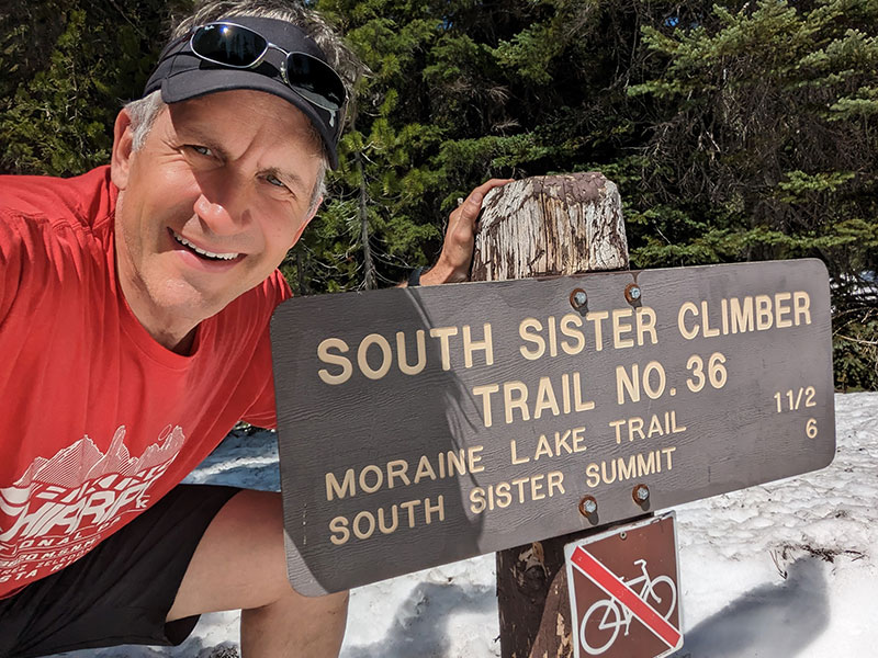
Early Morning Start
No need for an alpine start since the anticipation for “mountaineering” today wouldn’t be much. 5am at the trailhead was good enough! Snowshoes, ice axe and crampons were loaded in our packs, but we weren’t sure we’d even need them.
The first mile and a half climbs up through a canyon between Kaleentan Butte and Devil’s Hill. It was very easy to follow the dirty track through the pines.
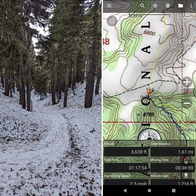
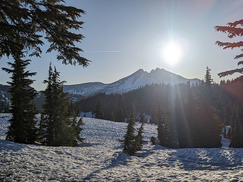
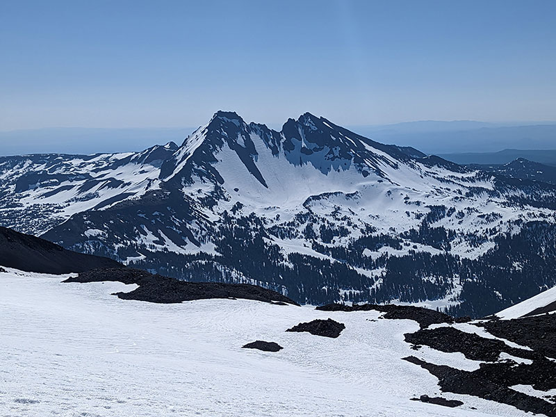
When you reach the plateau at the top of this canyon, you get your first glimpse of Broken Top.
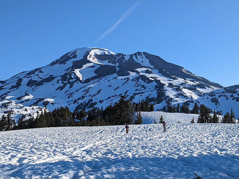
A little further on to the plateau and your destination comes into clear view… although we had no idea how the route would get us there on this first-time approach.
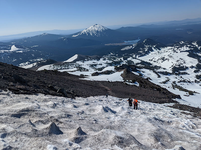
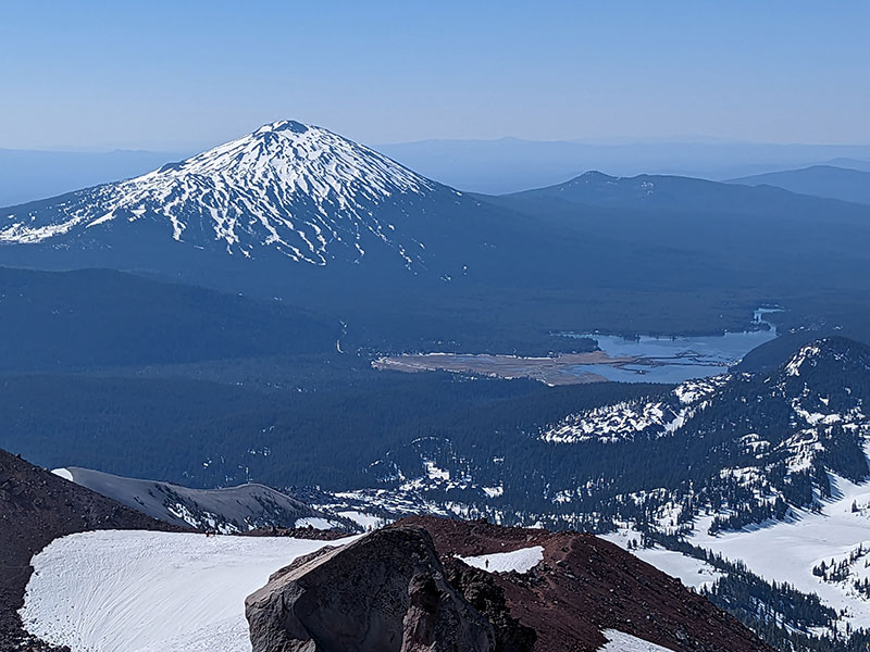
The views across the plateau in the opposite direction were equally amazing. There you can see Mt. Bachelor off in the distance.
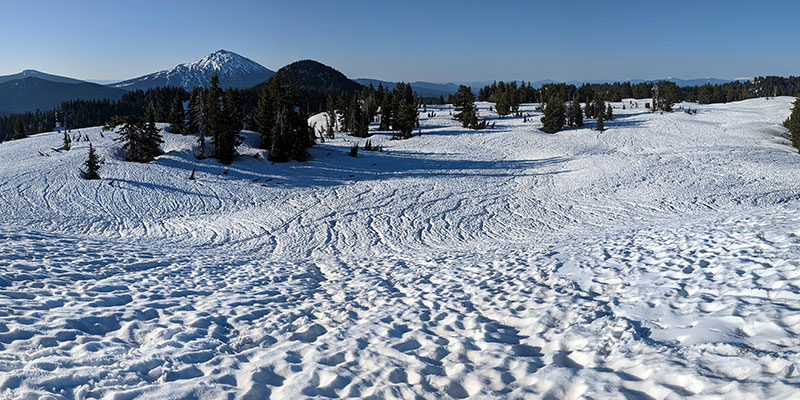
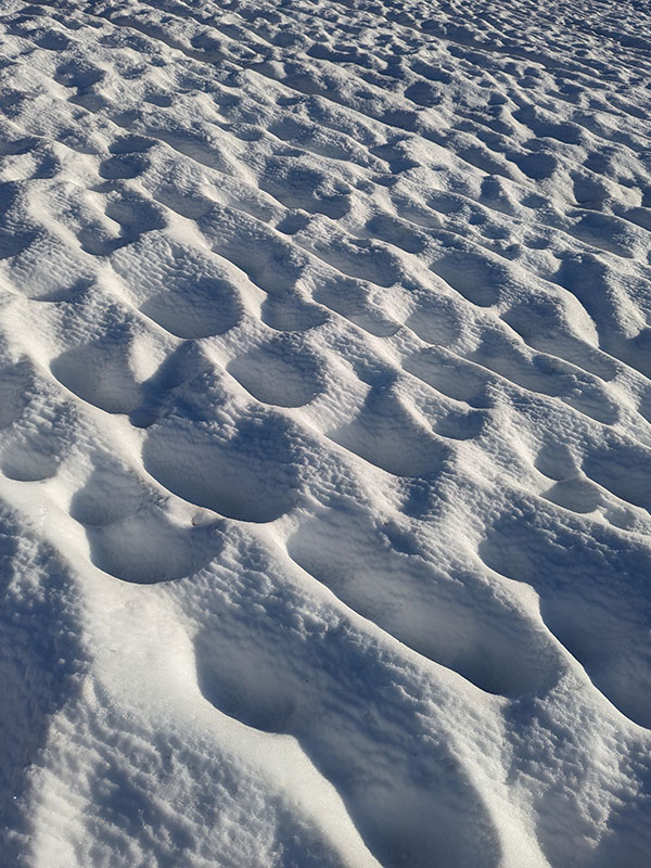
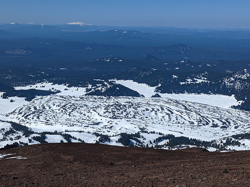
All the snow runnels and sun cups along this stretch was something spectacular to see too!
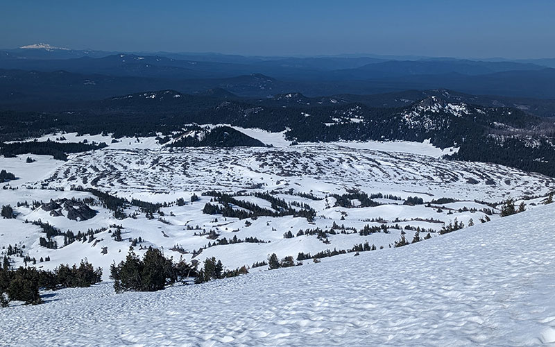
So was the view of Rock Mesa… a field of lava rock that looked more like a giant cow pie!
Keep Climbing
The climb steadily continues up…
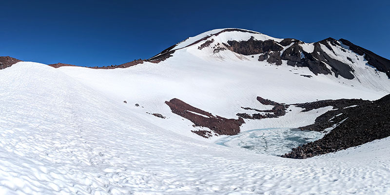
…to a saddle that overlooks Lewis Tarn and the Lewis Glacier. We could have stayed on the snow and followed along the top of this glacier.
However, we chose the rocky ridge path instead since that just seemed easier.
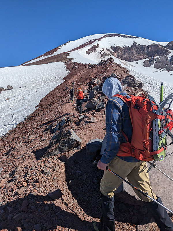
The views just keep getting better the higher you go.
Mt. Bachelor again with Sparks Lake to the west.
Cow pie or a bowl of pudding?
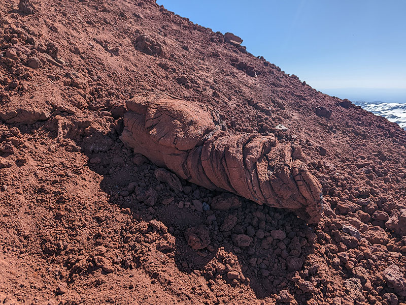
If I were to guess, I’d say this is a petrified dinosaur turd!
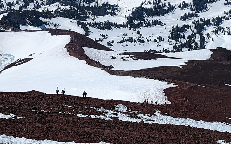
Looking back at the barren ridge we just ascended, there was a slue of skiers coming up behind us.
Summit Push
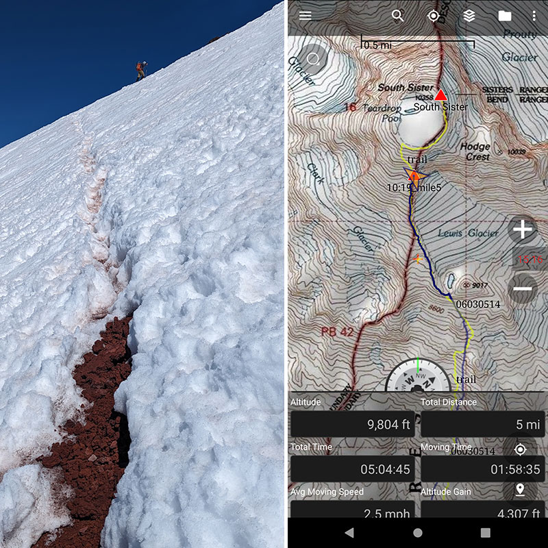
The summer trail hangs a left at the 5-mile mark. We had climbed 4,300 feet of elevation in 5 hours by this point and were back on snow for the rest of the way.
A few minutes later and we were on the crater rim!
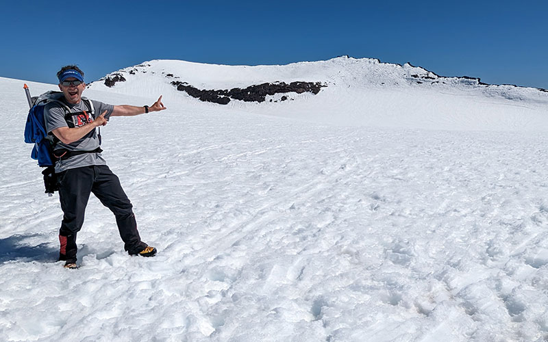
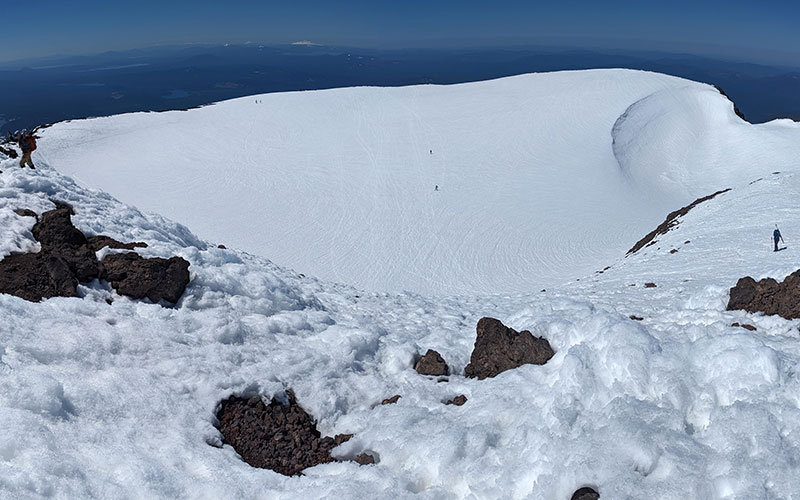
Some people walked across the crater to the summit, but I wanted to traverse along the rim. At the time, I didn’t know I would ultimately walk the entire perimeter.
Jim and I made it to the top in under 6 hours. We were 5.5 miles in and 4,800 feet up from from where we had started today.
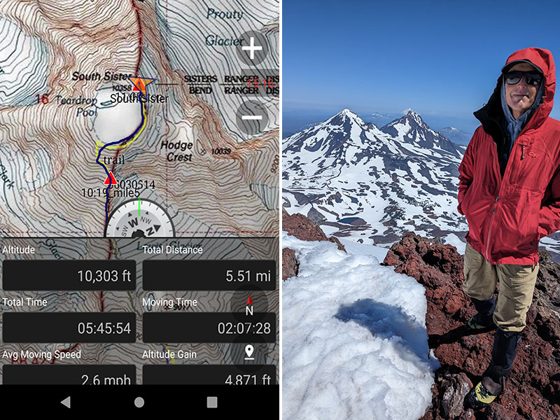
The views to the north are stunning. You can see all the way to Mt. Hood, the peak we just stood on three days earlier.
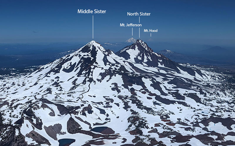
From the summit of South Sister, I started wandering along the rim to the west. No one else wanted to follow, but I found good snow the whole way around. This shot was taken from above Teardrop Pool.
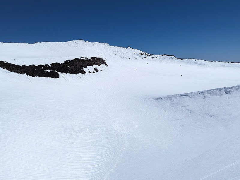
If you’ve done the standard route to Mt. Whitney, you know about the 99 switchbacks. This section reminded me of that, except there were a thousand mini ones here!
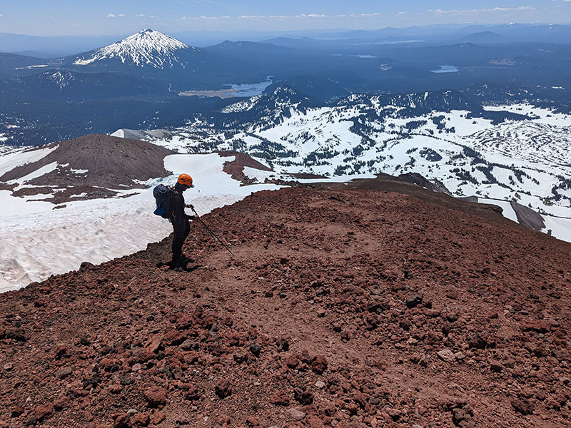
Back at the saddle above Lewis Tarn.
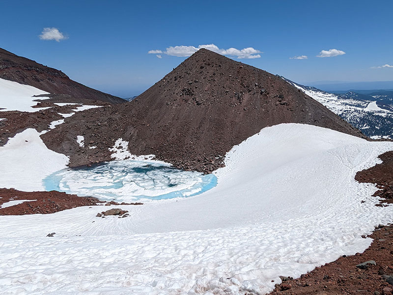
Except for a few good glissade runs down mid-mountain, the rest of the descent was uneventful. The lower part just felt like another long slog through soft slush. However, looking back at the mountain now, I saw exactly how the route goes up the side of this volcano.
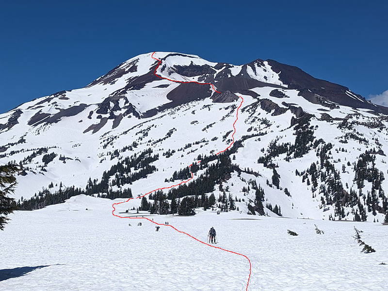
Final stats for the day: 11 miles and 4,981 feel in just over 10 hours.
Next stop: Mt. Shasta
