A window of good weather finally opened for us to make our winter attempt at Mount St. Helens. We had been waiting around for three days hoping for our timing of this trip to align. It had been snowing here for the previous week and everyone was getting antsy.
Summit day would begin with a 4:30 a.m. start out of the Marble Mountain sno-park. We knew the sun would become a factor with the snowpack as the day went on.
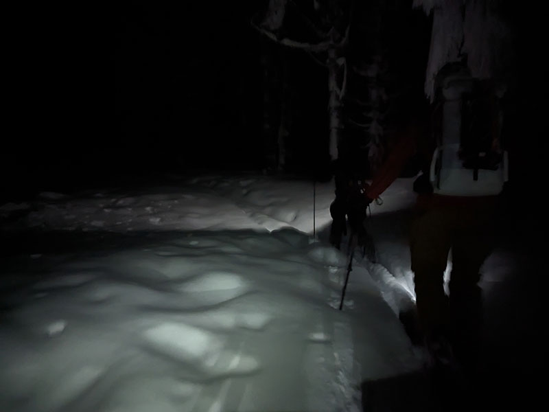
As a result, we were the first tracks in after the latest storm gifted us with 48″ over the previous 4 days.
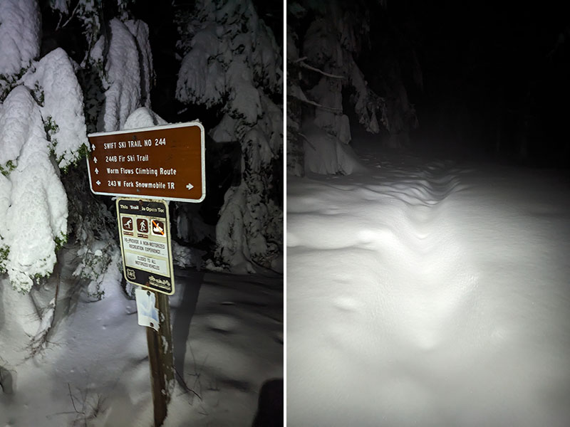
We didn’t move very fast through that new layer of cascade concrete. Yet under dawn’s early light, 2 miles up and about 2 hours in, our objective for the day started to come into view.
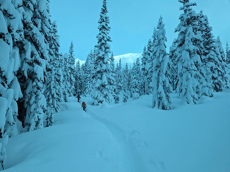
Here’s what breaking trail looked like that morning. It was waist-deep without skis or snowshoes.
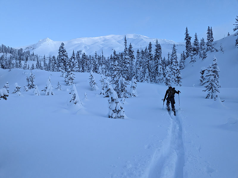
Chocolate Falls was the first terrain feature to navigate.
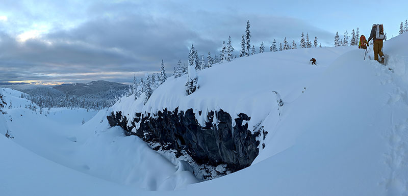
The snow was very deep here making it a bit difficult to trudge through.
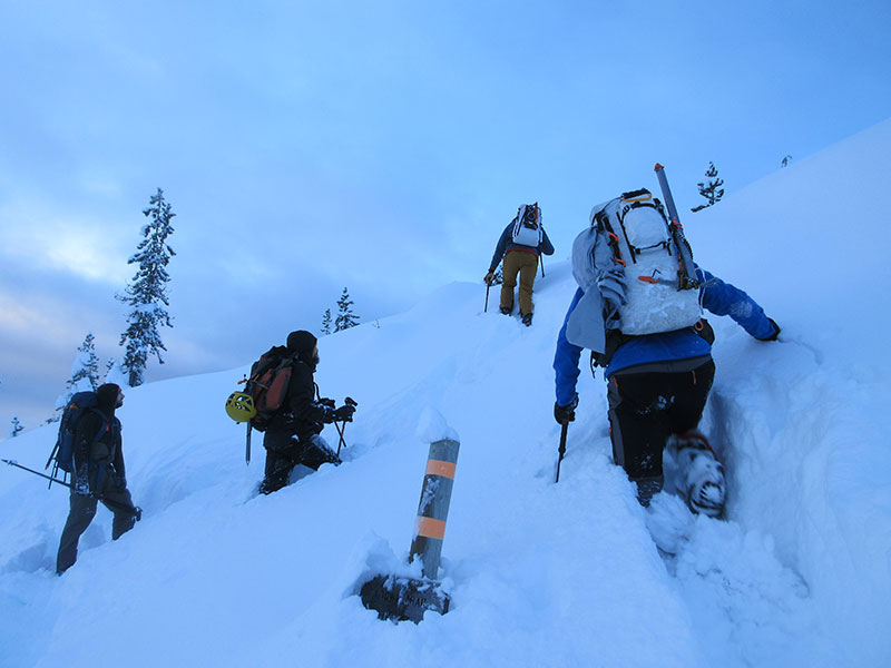
Worm Flows Climbing Route
Above Loowit Trail, we picked our way along the Worm Flows Climbing Route.
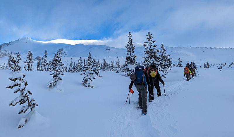
Our group was 5 with 4 others who joined up from behind. Some were on skis, others on snowshoes.
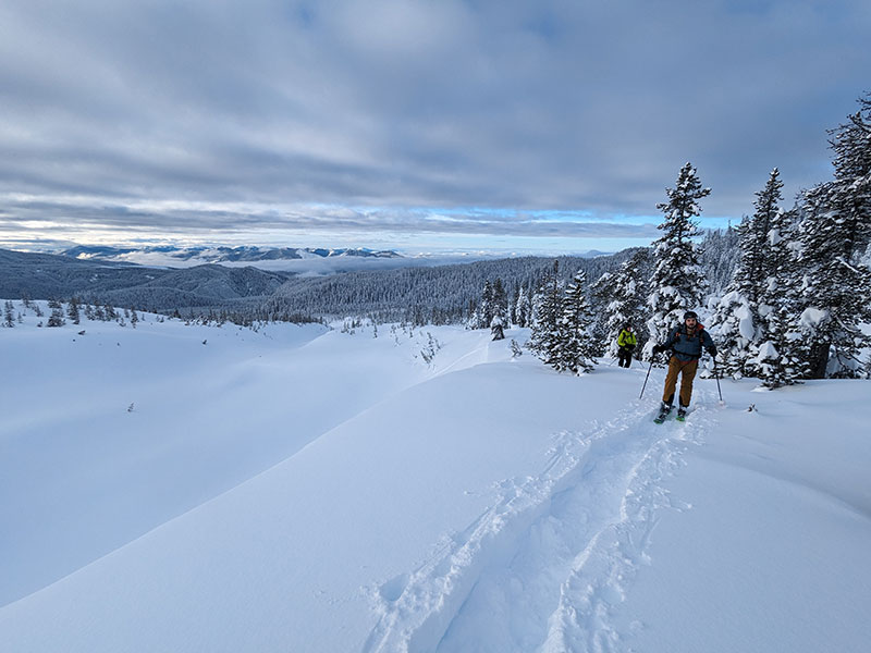
By the time we all came through, the powder path was well packed!
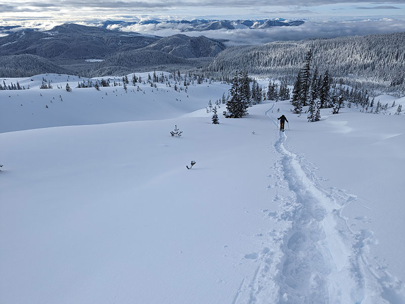
The contour of the land made it pretty obvious which ridge we needed to follow.
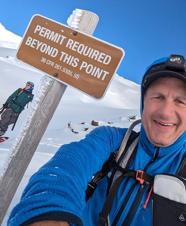
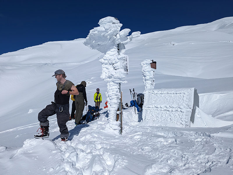
About 3.5 miles in, at an elevation of 4,700′, this sign reminds us about the climbing requirement. Fortunately, that’s a self-issued permit with no fee between November 1st and March 31st.
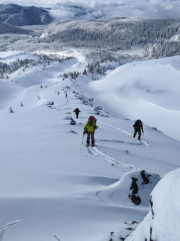
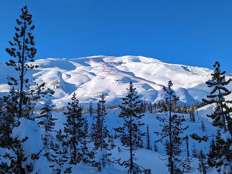
We continued zig-zagging up this ridge to the weather station.
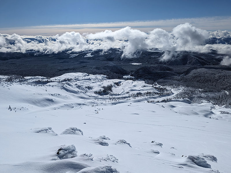
There we took a short break and waited for others to catch up. At that point, we had reached the 4-mile mark and about 3,000′ of gain.
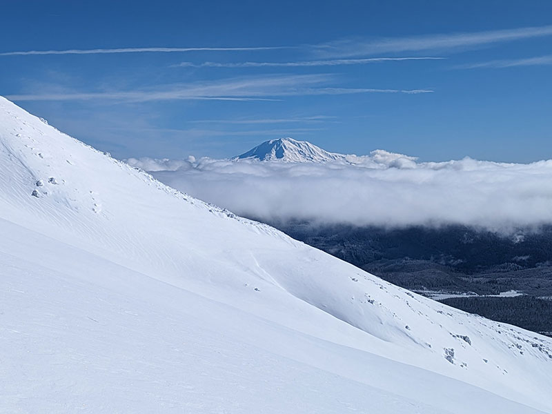
Mt Adams was poking through the clouds to our right.
With 2 miles and 2,600 more feet to climb, we remained very comfortable on what we considered to be low-angle slopes on this route so far.
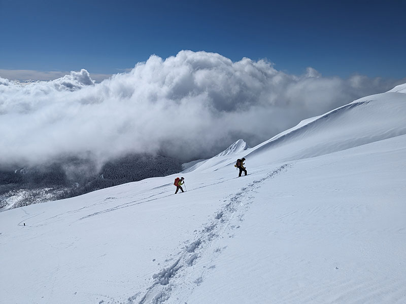
Abe was a beast in setting the pace and leading out for most of the day. I don’t think we would have made it without him! His splitboard packed down the trail enough to help me from deep-trenching on snowshoes right behind him. So instead of going down 6-8″ per step, I was only sinking in 4-6″.
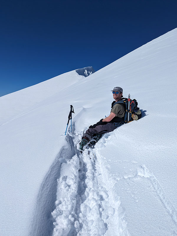
Final Push
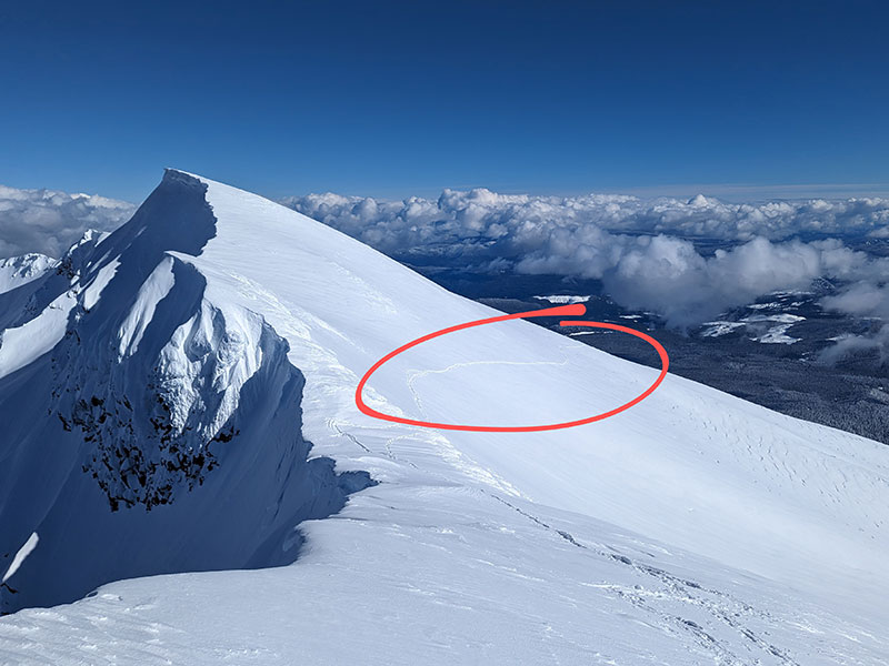
This short section to the saddle was the only slope that made me nervous. It is large and open with a fall line that funnels down into a serious gulley. My apprehension came from it taking longer than expected to get here while the sun had been beating on this aspect all morning.
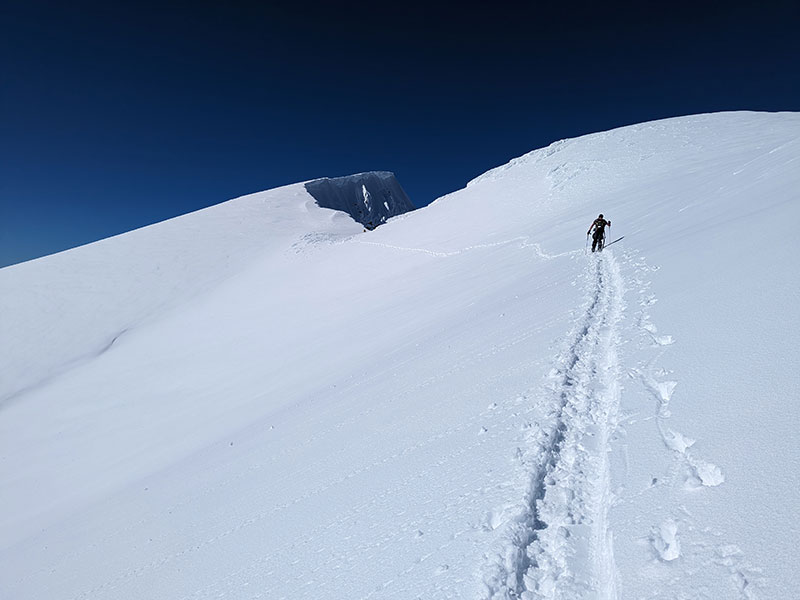
All I could think about was the bottom line from that day’s avalanche report (3/5):

Abe and I stopped for a minute and took inventory of the situation. We saw no natural activity. We experienced no cracking nor heard any whoomphing all day. Our own tracks didn’t even sluff anything off or send down roller balls. We decided to continue but with heightened caution, crossing over one at a time.
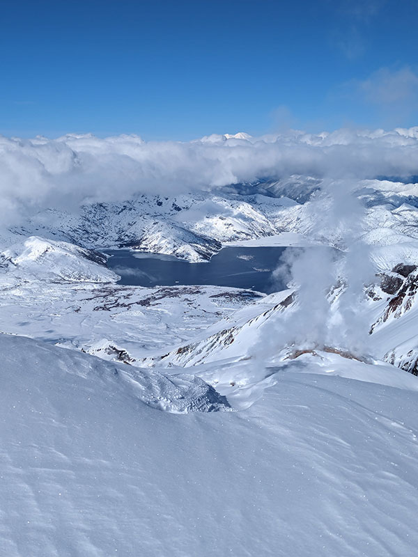
A few minutes later and we were standing on the saddle at the crater’s rim. Steam was rising from the lava dome with Spirit Lake in the distance.
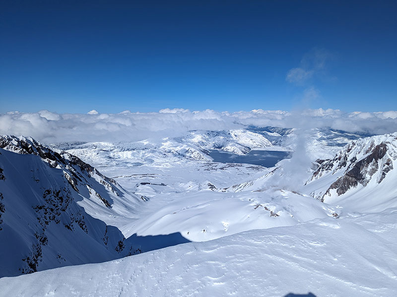
The crater is enormous… much larger than what it looks like from a distance! I believe it measures a mile across at its widest spot.
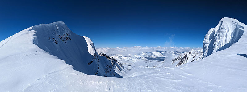
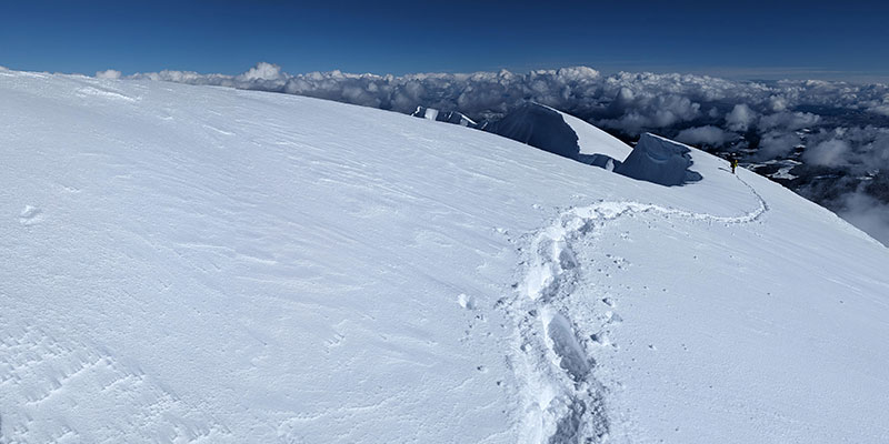
After oogling over the power of nature, it was time to finish what we came to do. We just had to be careful now about those cornices.
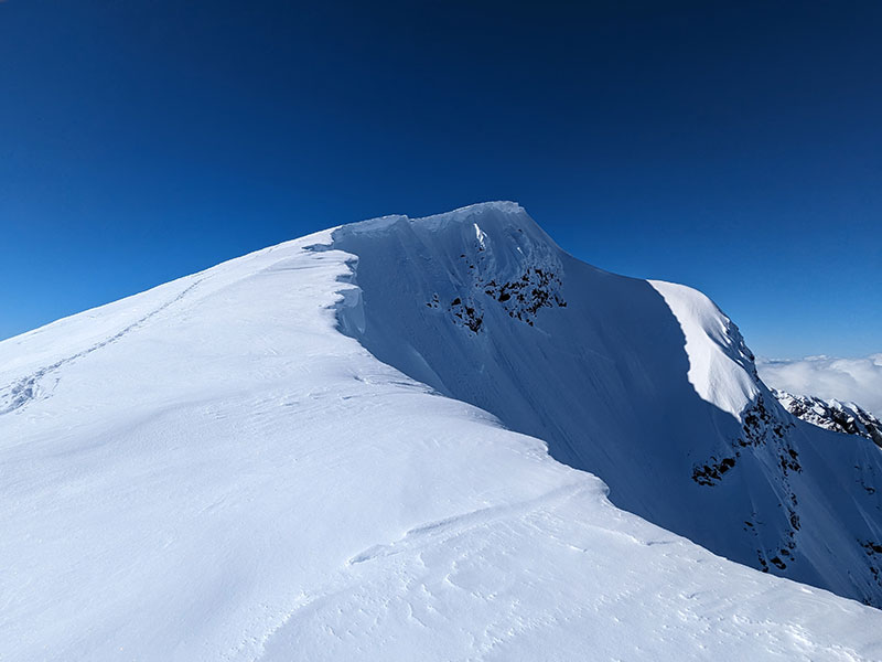
Not much to see when you can’t stand anywhere near the edge.
Summit Stats
Of the 9 who were on the mountain that day, only 3 of us made the summit. Others turned back for reasons of fatigue, lower risk tolerance or otherwise cramping.
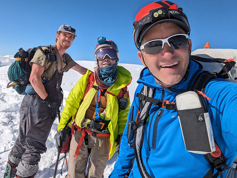
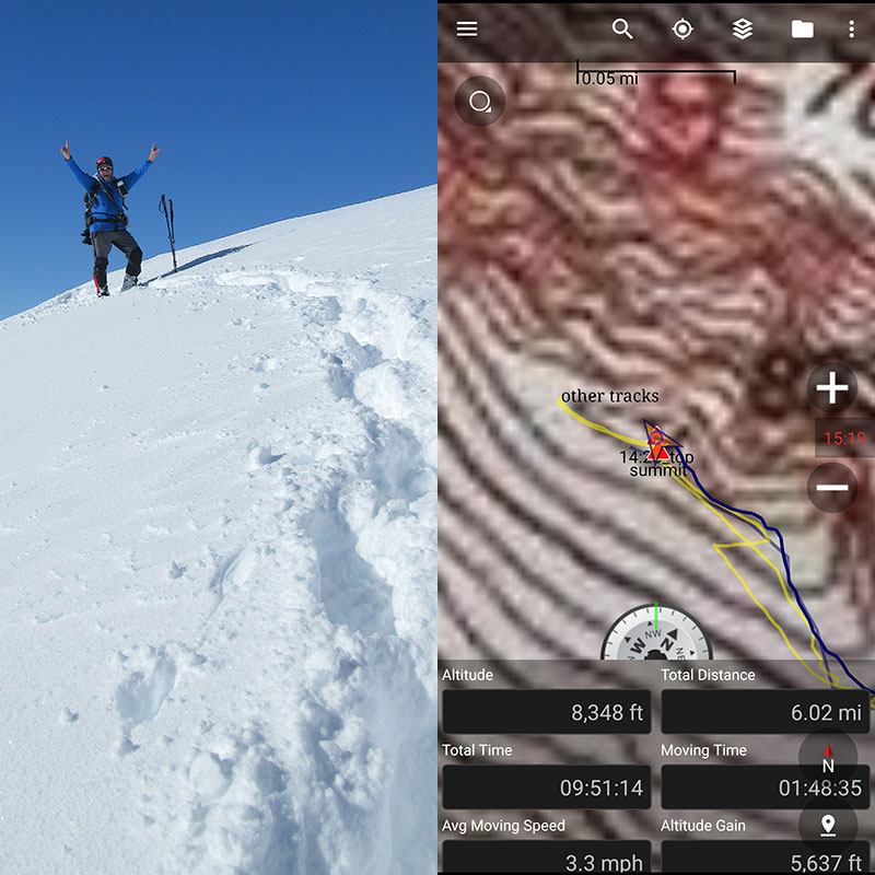
We didn’t make great time overall, but the conditions were a tad bit difficult. It took us almost 10 hours to go 6 miles with 5,600′ of elevation. Some days I wish I were a backcountry skier (or 25 again).
Here’s a good view of the only slope that had me worried about crossing.
Back at the saddle for one last look into the crater, you can see Mount Rainier just barely poking out above the clouds in the distance.
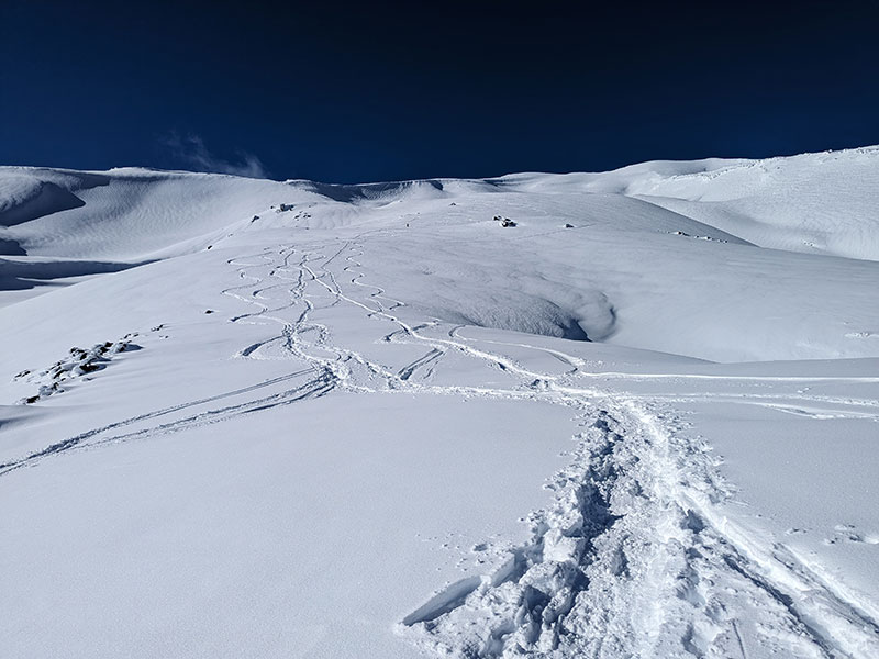
This shot was taken from the weather station now looking back at all the tracks we made. It’s also a good representation of the low-angle slopes you will find on this route.
Earlier that day, we had no idea how we were going to climb these slopes. How fun to see that so clearly now. It reminded me of a similar experience on South Sister.
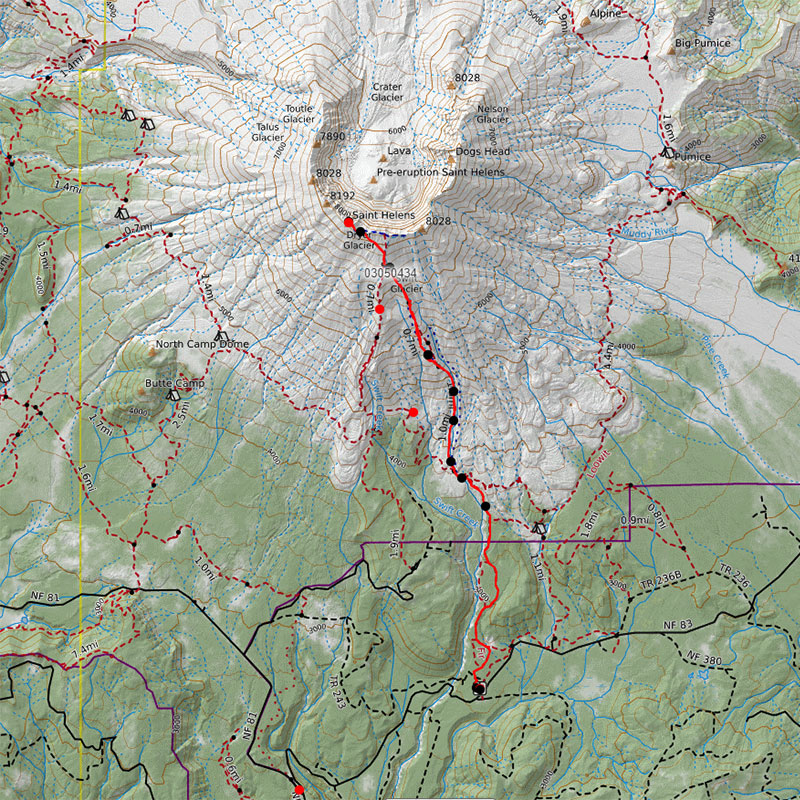
Download our tracks here if you want to follow the route we took to the top.
Turned out to be a spectacular day in the PNW despite what Washington skies typically look like this time of the year.
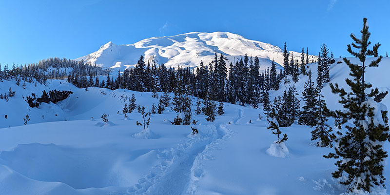
If only the trail had looked like that when we started!
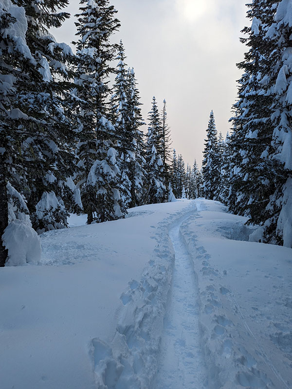
I’ve always thought Washington is like an enchanted forest, especially in the winter.
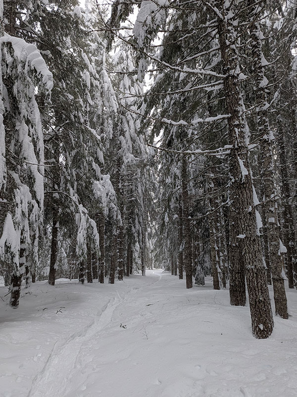
I want to come back now in the summer and do the Loowit Trail around this blown out volcano.

Very cool! Thanks for posting.