From the lowest, hottest place in North America…
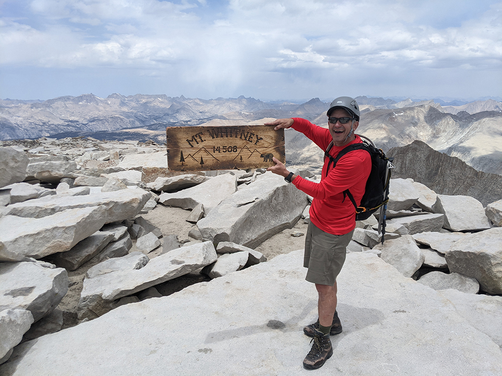
…to the highest point in the lower 48, for my second time, this time up the Mountaineer’s Route.
DAY 1: Get myself to Las Vegas
This adventure started for me last Tuesday after lunch, as I jumped in my car and drove off to Vegas. The plan was to take my afternoon calls from the car so I could arrive in time for dinner on the Strip — and a lobster tail from Carlo’s Bakery in the Venetian.

DAY 2: Morning Meetings, Death Valley, Lone Pine
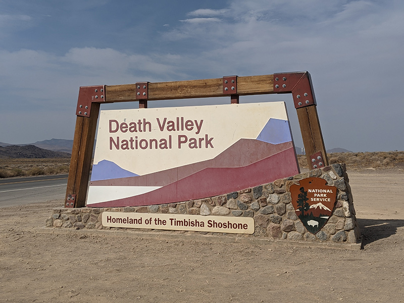
The next morning, I wrapped up the work week with a few meetings from the hotel and then continued across the desert to Death Valley National Park. My route took me around Mt. Charleston to Pahrump, where I had lunch at Johnny’s. Then further westward, I stopped for a short hike up to Zabriskie Point.
Peering down into the valley below, sweat dripped like I had just stepped into a sauna. It was so hot!
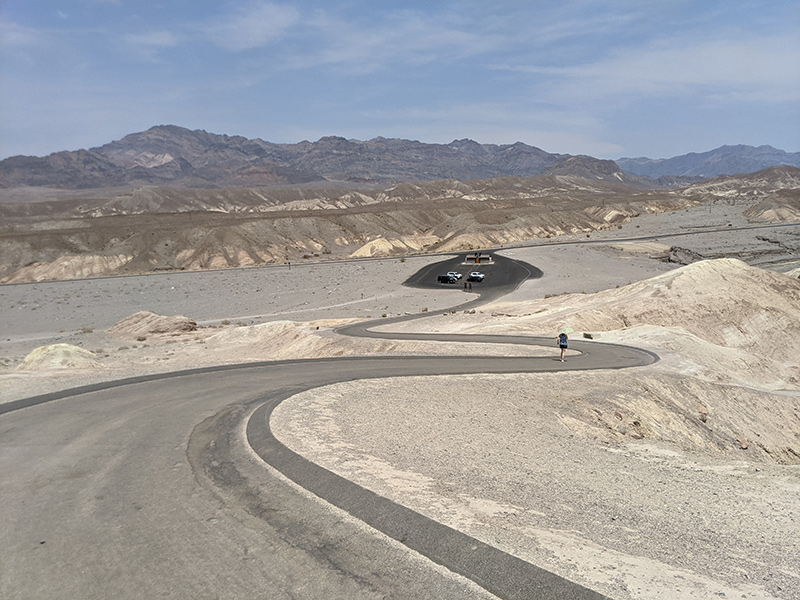
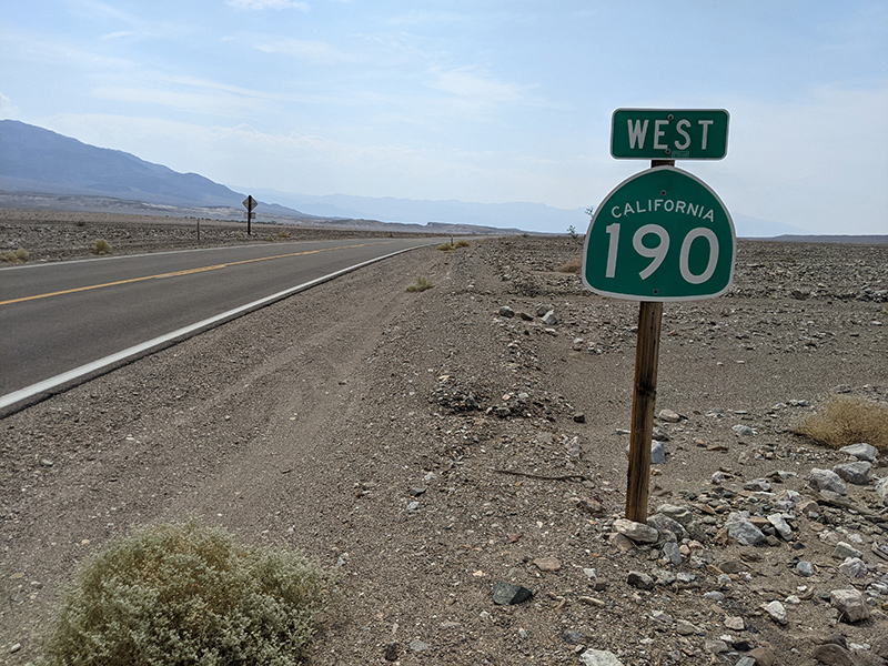
I hurried back into my air-conditioned car and kept following the Death Valley Scenic Byway (CA-190) deeper into the park. Near the Inn at Death Valley, I headed south onto Badwater Road.
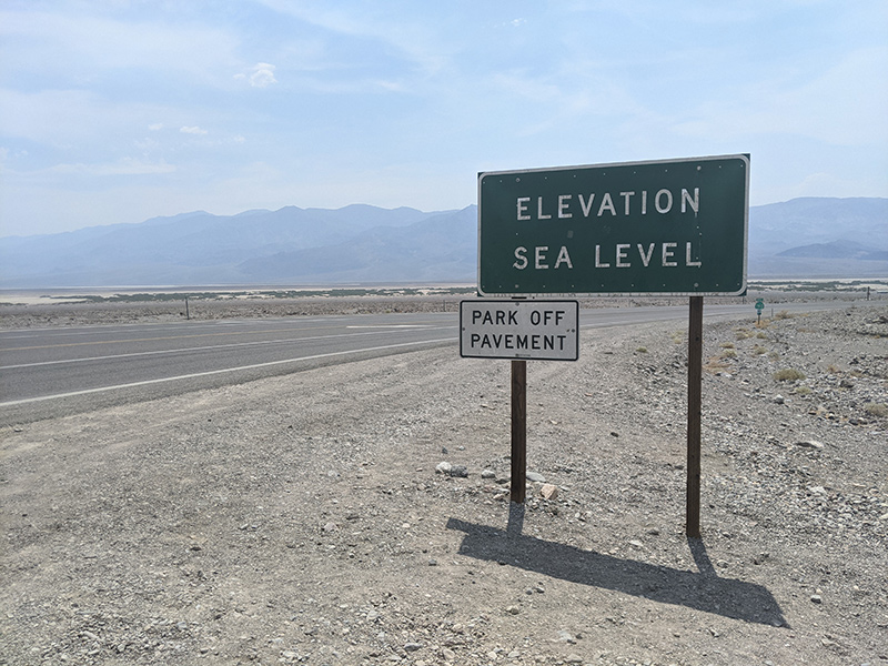
Devil’s Golf Course was on the list of things to see, but I was in a sporty car and had no interest in taking it off-road. Sticking to the pavement through the basin would have to be good enough this time.
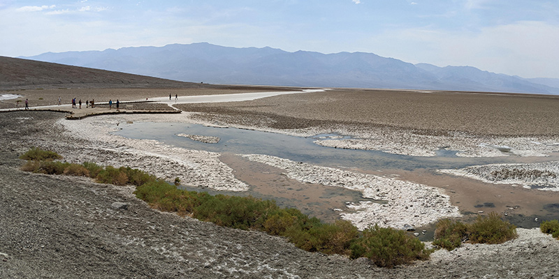
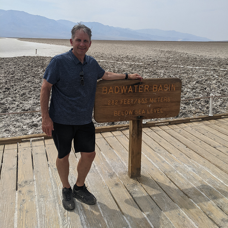
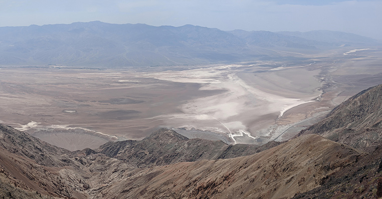
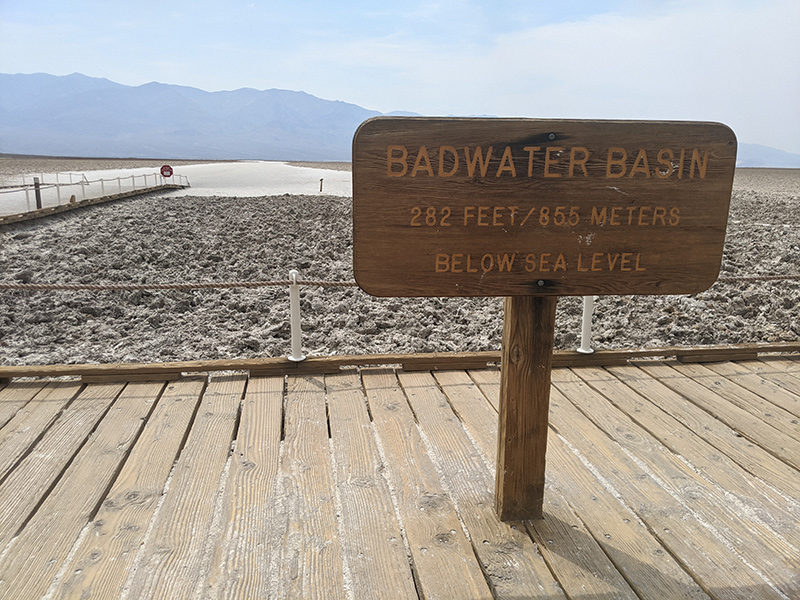
Way Below Sea Level
Badwater Basin isn’t just the lowest point in the lower 48 — it’s the lowest point in all of North America at 282 feet (855 meters) below sea level. That’s such a crazy concept to wrap your head around.
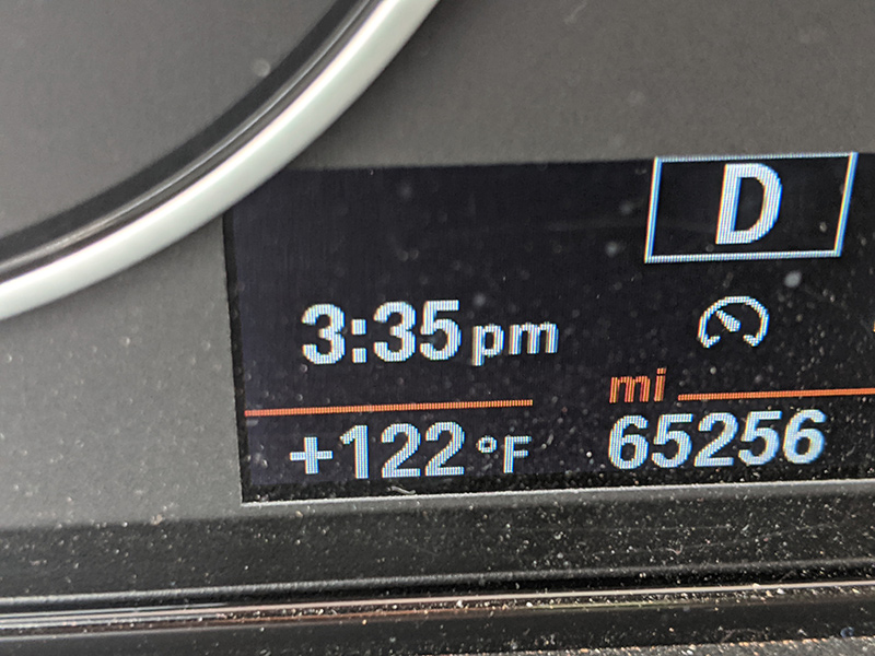
And while temperatures weren’t breaking any official records, 122°F was still the hottest natural heat I’ve ever experienced.
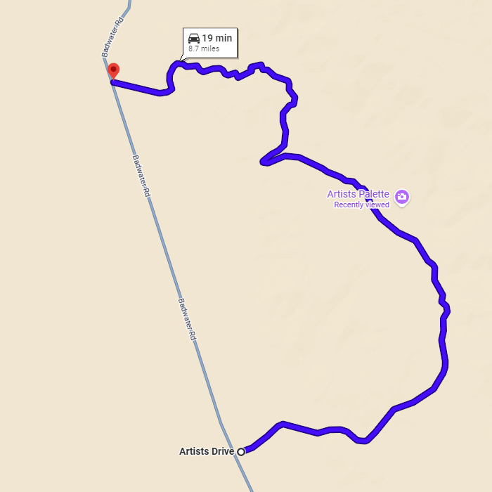
Artists Drive
Speaking of sporty cars, if you happen to be driving one through this area, check out Artists Drive. This scenic side trip is a one-way, one-lane road running south to north, with tight turns and dramatic dips that make the nine-mile stretch well worth a short detour! I was lucky enough to have it completely to myself — no pedestrians, no cyclists, nor any other vehicles in sight.
Take a virtual drive through this six-minute YouTube video by Scenic Drives of America.
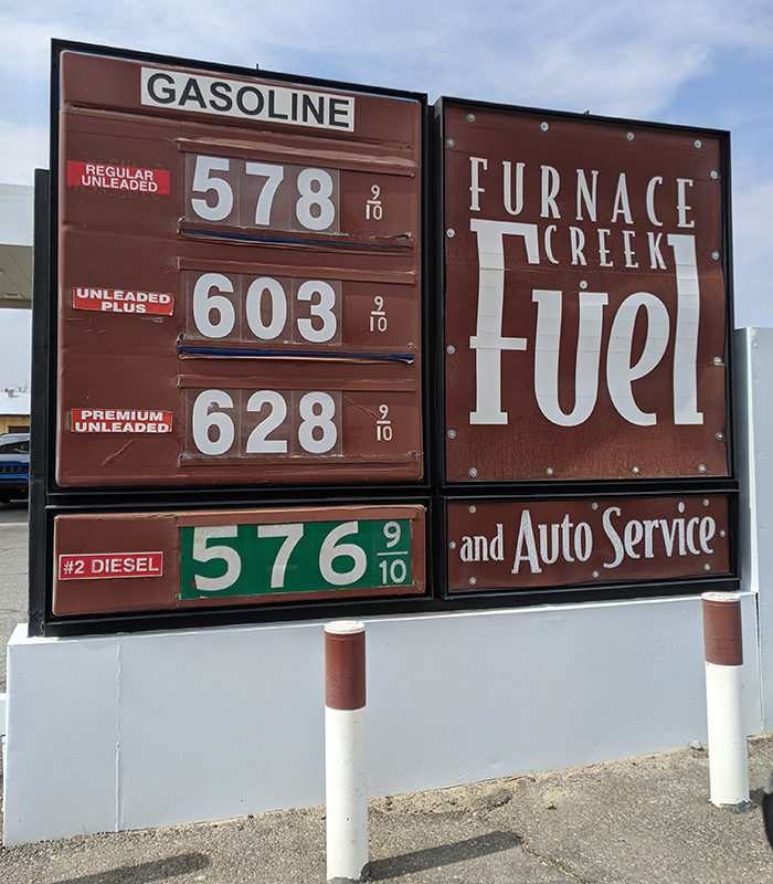
Just be sure to top off your tank before heading into this remote corner of California.
Lone Pine or Bust
As much as I wanted to linger longer in Death Valley, I had to keep moving toward my real destination for the day. I’ll have to come back with my wife for a few days at one of these desert oasis getaways.
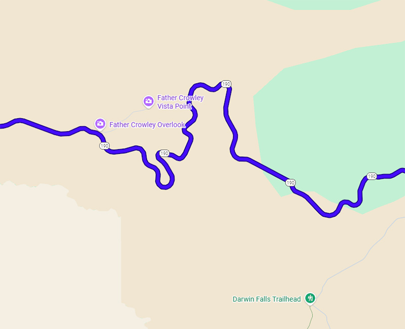
The last 100 miles from Furnace Creek to Lone Pine was equally interesting. More twists and turns on the mountainous roads near Darwin Falls, with a set of rollers right after the National Park boundary.
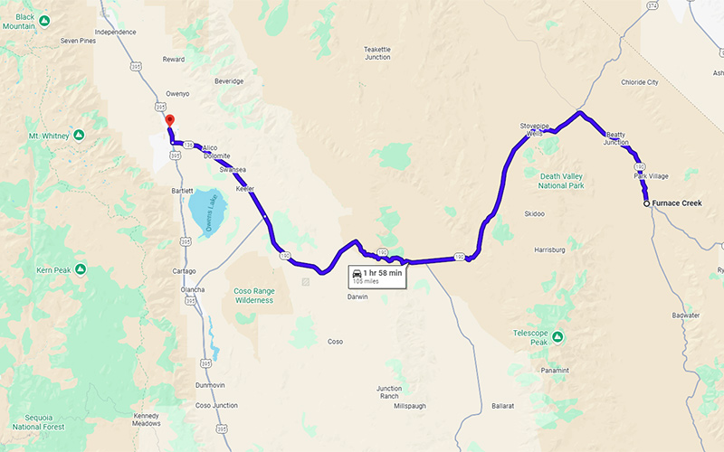
I pulled into Lone Pine around 6pm and checked in to the Dow Villa Motel, repeating my first trip to Whitney.
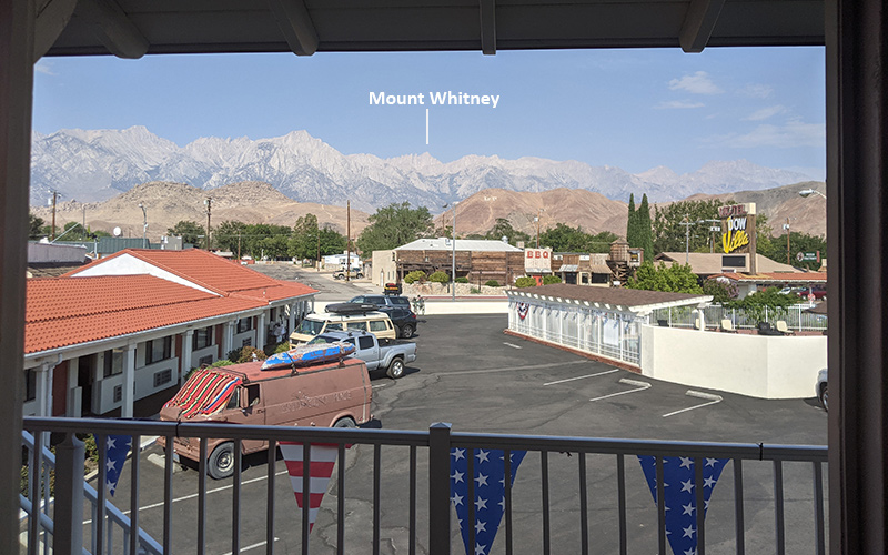
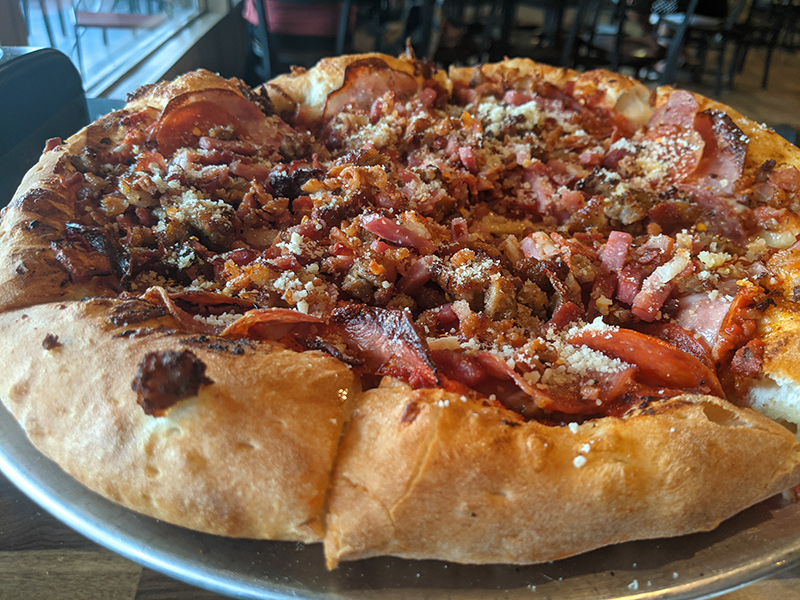
Afterwards, I made a quick call home and then grabbed a bite at the Pizza Factory.
A few friends from home would soon meet me here, each coming off a different adventure of their own.
The next day, we’d start our approach to Iceberg Lake — the first leg of Whitney’s Mountaineer Route.
