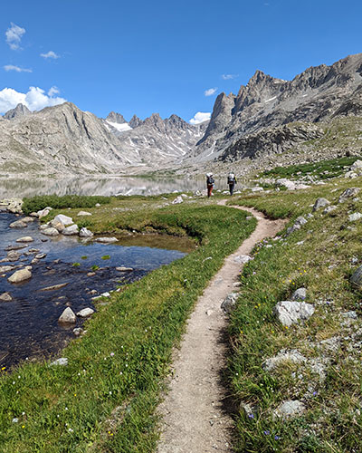
Getting to Gannett is legit! We chose the standard route up from the southwest through Titcomb Basin. This is the “easiest” way to Wyoming’s tallest peak, which is still pretty tough considering how far in you have to go and how much gear you need to bring. Here are the overview stats from our trip to illustrate the challenge of this state’s highpoint:
- Elkhart Park trailhead to Island Lake (camp 1)
- 12.56 miles, 2,346′ of elevation
- Island Lake to Titcomb Basin (camp 2)
- 5.29 miles, 648′ of elevation
- Titcomb Basin over Bonney Pass to Gannet Peak
- 4.46 miles, 4,261′ of elevation
- Gannet Peak back over Bonney to Titcomb Basin
- 4.48 miles, 1,314′ of elevation
- Titcomb Basin back to Island Lake
- 5.26 miles, 247′
- Island Lake back to Elkhart Park trailhead
- 12.4 miles, 1,252′
That’s a total of 44.45 miles (round-trip) with over 10,000′ of elevation! We got it done in 4 days after waiting for favorable snow conditions and having great weather on the day we summitted. Hopefully the details found here can help you through your own trip preparations and expectations for heading out to Gannett.
DAY 1 – Drive, then Hike Half-way
We left Salt Lake around 8a for the 4-hour drive to Pinedale. The plan for today was to grab lunch in town, swing in to the Great Outdoor Shop for the latest on route conditions and then make it to Seneca Lake, the half-way point to Titcomb, by dinner.
The good weather faded fast and by 2:30p, it started raining as we left the Elkhart Park trailhead.
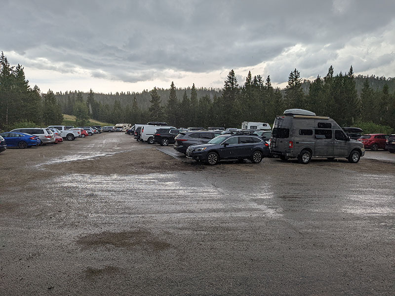
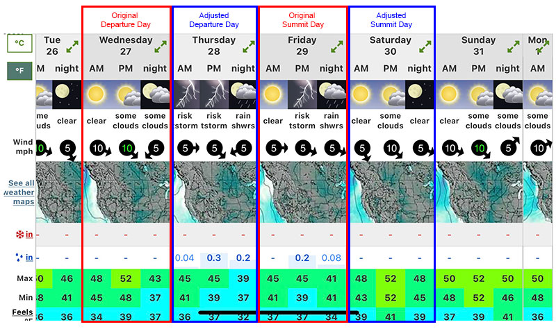
Thunderstorms were in the forecast for this trip and we accounted for bad weather in our planning. However, it looked like we were off by a day for the good weather window we needed. So we delayed our start by another day in order to better align with this forecast.
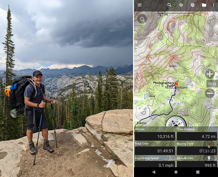
Within 2 hours, we were 5 miles in at Photographers Point where you get your first good view of this rugged range! We were headed into those stormier clouds off in the distance.
Alpine lake after alpine lake… we filtered some water from Barbara Lake at 6 miles in and hiked along Hobbs Lake at 7 miles (pictured below).
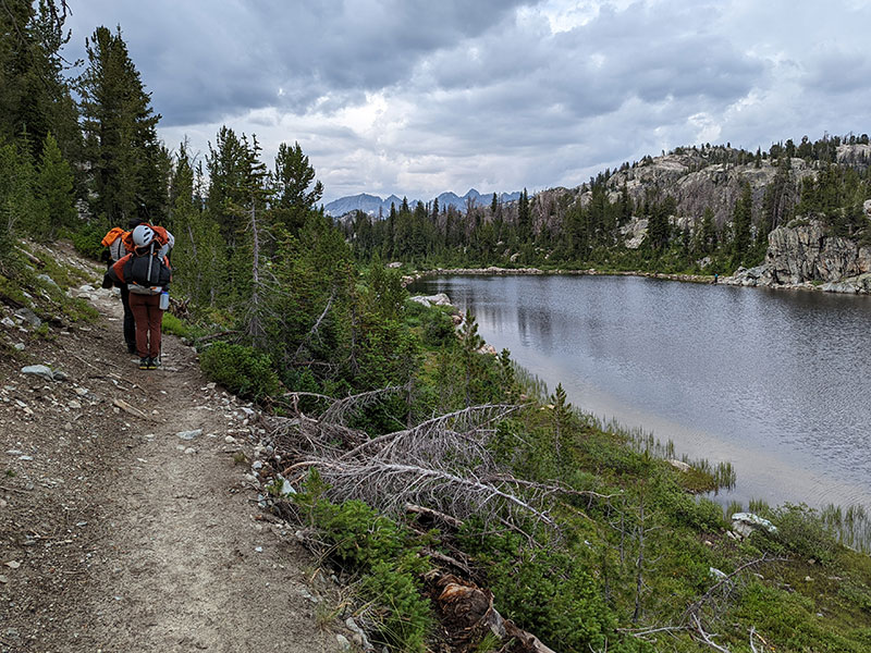
Half-way to Titcomb
We traveled 9 miles in 4 hours when we got to Seneca Lake. This is the half-way point to Titcomb Basin. Our original plan was to stop and camp here but everyone was still doing well and feeling strong. We also had plenty of daylight left and knew every mile today would be one less mile tomorrow, so we pressed on.
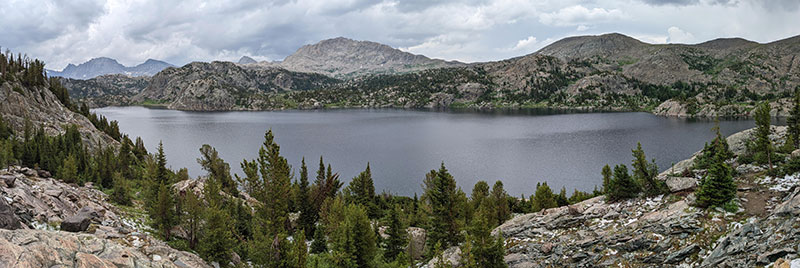
The rain continued on and off as we hiked past Little Seneca Lake at 10.5 miles.
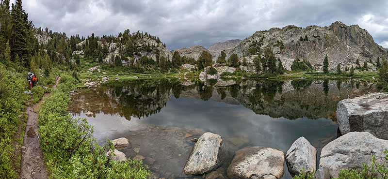
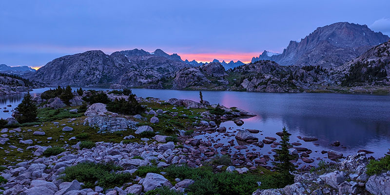
At 12.5 miles in, we reached Island Lake where we stopped and set up camp for our first night.
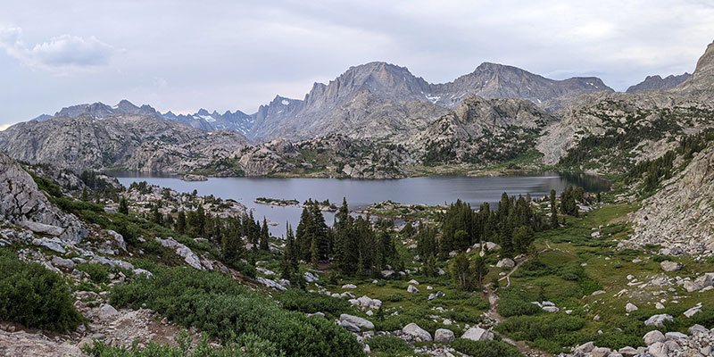
The mosquitoes were relentless…
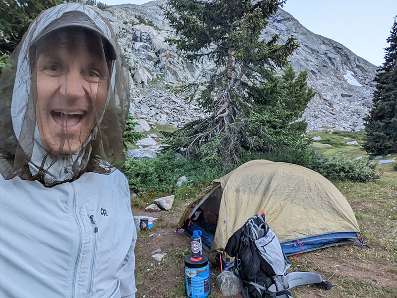
…but the sunset was worth it.
DAY 2 – Rest, Relax and Retire Early
We woke up to a beautiful morning on Day 2 (Friday, 7/29). No one was really expecting that after how much rain we got through the night.
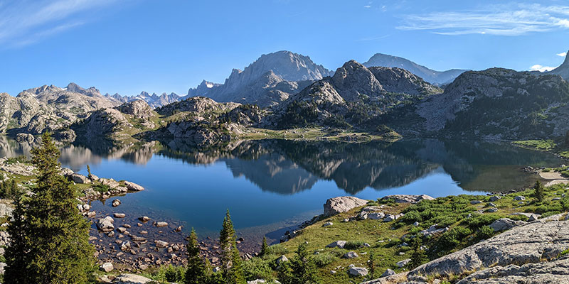
Today would be an easy day. It involved a leisurely 5-mile walk into Titcomb Basin where we set up our second camp.
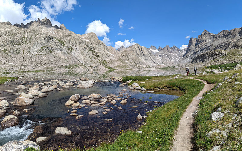
Here we would rest, relax and retire early for our Gannett summit bid that would start in the wee hours of the morning.
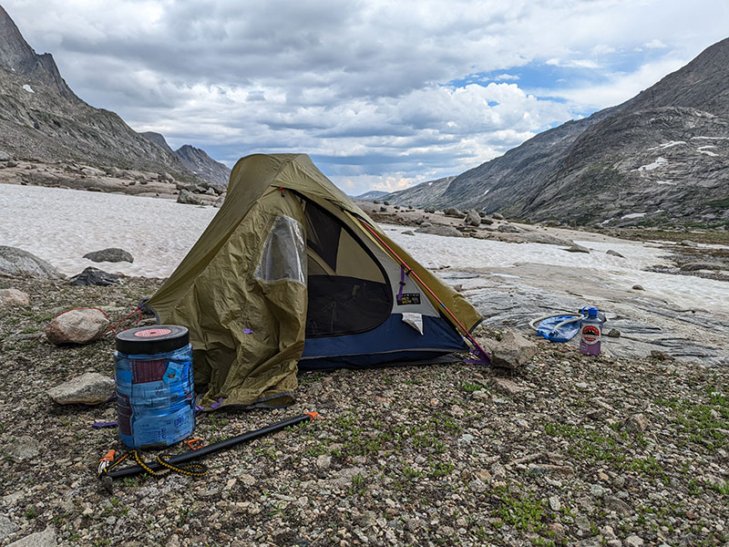
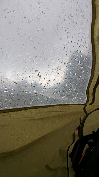
By late afternoon, the clouds had rolled in and it started to rain again… a pattern that looked a lot like the day before. This made us a bit nervous with rumors about unfavorable forecast changes being reported by others in the area.
We discussed a few options and finally settled on getting up around midnight in order to be on the trail by 1am. Our primary objective was to tag the top and be back down by 2:30p in order to minimize any chance of getting caught in a storm.
